Transport Functions
Rail
Road
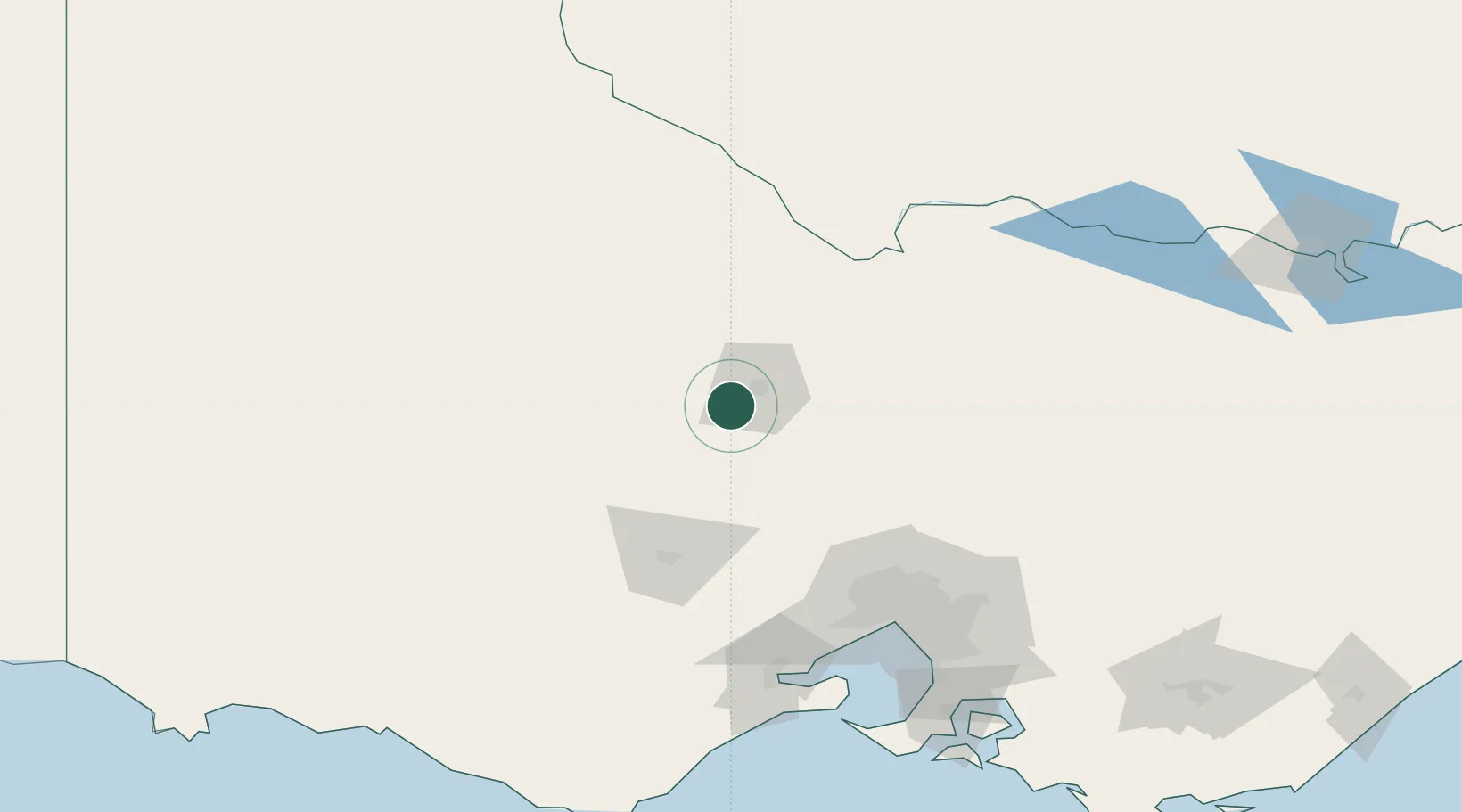
Hub Profile
Place type
Populated place
Region
Victoria
Population
752
Time zone
Australia/Melbourne
Elevation
222 m
Location
Nearby Logistics Neighbours
Cities
- 1Castlemaine25 km
- 2Bridgewater-on-Loddon32 km
- 3Heathcote51 km
- 4Colbinabbin62 km
- 5Tooborac65 km
Ports
- 1Melbourne133 km
- 2Geelong148 km
- 3Western Port194 km
- 4Warrnambool228 km
- 5Portland280 km
Airports
- 1Bendigo Airport19 km
- 2Echuca Airport93 km
- 3Melbourne Airport111 km
- 4Ararat Airport116 km
- 5Shepparton Airport120 km
Trade Zones
DatabookThe Record of Consolidated Knowledge
Australia beyond logistics?