UN/LOCODE hub · Australia
AUHTH

Heathcote

-36.9167°, 144.7167°
2,712
Population
2
Transport functions

Transport Functions

Port
Multimodal
UN/LOCODE

Hub Profile

Place type
Populated place
GeoNames
Region
Victoria
GeoNames
Population
2,712
GeoNames
Time zone
Australia/Melbourne
GeoNames
Elevation
239 m
GeoNames

Location

Location of AUHTH
Natural Earth 10m (public domain) · Victoria · AUHTH · -36.92, 144.72GoogleOSMYandex

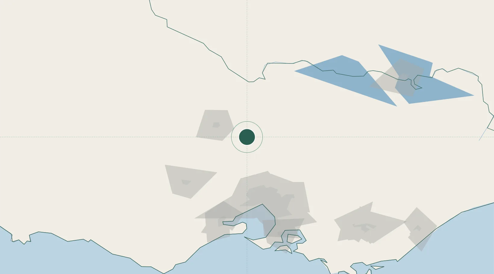
Nearby Logistics Neighbours

Cities
  1. 1Tooborac18 km
  2. 2Colbinabbin36 km
  3. 3Broadford44 km
  4. 4Castlemaine47 km
  5. 5Lockwood51 km
Nearest neighbours — logibook spatial index (haversine) over the source coordinates
Ports
  1. 1Melbourne104 km
  2. 2Geelong141 km
  3. 3Western Port166 km
  4. 4Welshpool251 km
  5. 5Warrnambool257 km
Nearest neighbours — logibook spatial index (haversine) over the source coordinates
Airports
  1. 1Bendigo Airport40 km
  2. 2Shepparton Airport81 km
  3. 3Melbourne Airport85 km
  4. 4Echuca Airport85 km
  5. 5Melbourne Essendon Airport92 km
Nearest neighbours — logibook spatial index (haversine) over the source coordinates
Trade Zones
  1. 1Latrobe Valley Economic Growth Zone208 km
  2. 2Paga Hill Estate Special Economic Zone3060 km
  3. 3Ihu Special Economic Zone3228 km
  4. 4Vanuatu Economic Development Zone3251 km
  5. 5Morobe Agricultural Special Economic Zone3367 km
Nearest neighbours — logibook spatial index (haversine) over the source coordinates
DatabookThe Record of Consolidated Knowledge
Australia beyond logistics?
Browse databook

All Sources

LocationsUN/LOCODE
UN/LOCODE — free
LocationsGeoNames
CC BY 4.0
Portsthe NGA World Port Index
Public domain (US gov)
AirportsOurAirports
Public domain
Trade Zonesthe World Bank SEZ database
CC BY 4.0
Trade ZonesOpen Zone Map
CC BY
← Australia locations