UN/LOCODE hub · Australia
AUBOL

Bridgewater-on-Loddon
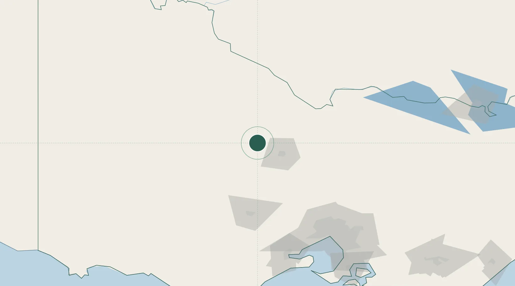
-36.6000°, 143.9500°
323
Population
2
Transport functions

Transport Functions

Port
Multimodal
UN/LOCODE

Hub Profile

Place type
Populated place
GeoNames
Region
Victoria
GeoNames
Population
323
GeoNames
Time zone
Australia/Melbourne
GeoNames
Elevation
140 m
GeoNames

Location

Location of AUBOL
Natural Earth 10m (public domain) · Victoria · AUBOL · -36.60, 143.95GoogleOSMYandex

Nearby Logistics Neighbours

Cities
  1. 1Lockwood32 km
  2. 2Castlemaine55 km
  3. 3Boort58 km
  4. 4Pyrenees68 km
  5. 5Colbinabbin74 km
Nearest neighbours — logibook spatial index (haversine) over the source coordinates
Ports
  1. 1Melbourne164 km
  2. 2Geelong176 km
  3. 3Western Port225 km
  4. 4Warrnambool238 km
  5. 5Portland283 km
Nearest neighbours — logibook spatial index (haversine) over the source coordinates
Airports
  1. 1Bendigo Airport37 km
  2. 2Echuca Airport88 km
  3. 3Kerang Airport94 km
  4. 4Ararat Airport116 km
  5. 5Stawell Airport120 km
Nearest neighbours — logibook spatial index (haversine) over the source coordinates
Trade Zones
  1. 1Latrobe Valley Economic Growth Zone282 km
  2. 2Paga Hill Estate Special Economic Zone3032 km
  3. 3Ihu Special Economic Zone3195 km
  4. 4Vanuatu Economic Development Zone3280 km
  5. 5Western Province Special Economic Zone3324 km
Nearest neighbours — logibook spatial index (haversine) over the source coordinates
DatabookThe Record of Consolidated Knowledge
Australia beyond logistics?
Browse databook

All Sources

LocationsUN/LOCODE
UN/LOCODE — free
LocationsGeoNames
CC BY 4.0
Portsthe NGA World Port Index
Public domain (US gov)
AirportsOurAirports
Public domain
Trade Zonesthe World Bank SEZ database
CC BY 4.0
Trade ZonesOpen Zone Map
CC BY
← Australia locations