Medium airport · Australia

Portland AirportYPOD
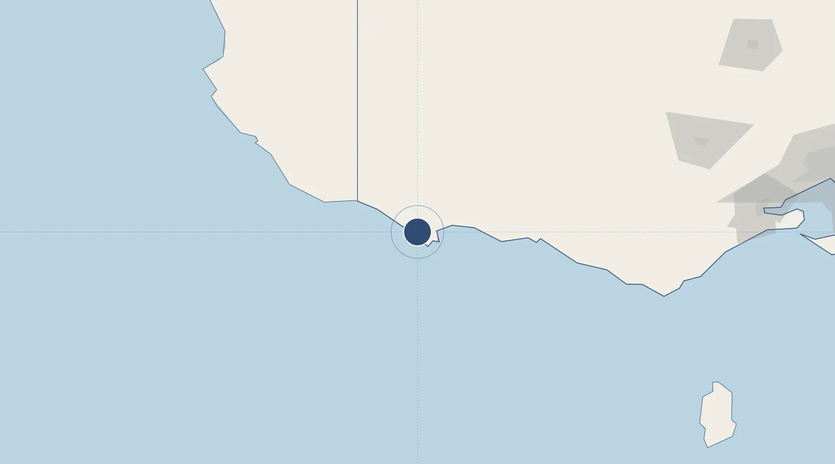
-38.3181°, 141.4710°
5,302 ft
Longest runway
2
Runways
265 ft
Elevation

Runway & Layout

Portland Airport runway & taxiway layout
Runway & taxiway layout — OpenStreetMap (ODbL) / OurAirports

Radio Frequencies

CTAF
126.7 MHz
FSS
125.8 MHz
MELBOURNE CNTR
OurAirports

Navaids

POD NDB Portland 212 kHz
OurAirports

Runways · 2

RunwayDimensions SurfaceTrue headingLit
08/26 5,302 × 98ft Asphalt 087°
17/35 3,871 × 98ft Gravel 177°
OurAirports

Airport Specifications

IATA code
PTJ
OurAirports
ICAO code
YPOD
OurAirports
Airport class
Medium airport
OurAirports
Scheduled service
Yes
OurAirports
Runway surface
Asphalt
OurAirports

Location

Location of YPOD
Natural Earth 10m (public domain) · Victoria · YPOD · -38.32, 141.47GoogleOSMYandex

Nearby Logistics Neighbours

Airports
  1. 1Mount Gambier Airport88 km
  2. 2Hamilton Airport91 km
  3. 3Ararat Airport174 km
  4. 4Stawell Airport178 km
  5. 5Horsham Airport194 km
Nearest neighbours — logibook spatial index (haversine) over the source coordinates
Cities
  1. 1Port Fairy67 km
  2. 2Croxton84 km
  3. 3Coonawarra127 km
  4. 4Tarrington147 km
  5. 5Willaura153 km
Nearest neighbours — logibook spatial index (haversine) over the source coordinates
Ports
  1. 1Portland11 km
  2. 2Warrnambool89 km
  3. 3Geelong254 km
  4. 4Melbourne311 km
  5. 5Western Port328 km
Nearest neighbours — logibook spatial index (haversine) over the source coordinates
Trade Zones
  1. 1Latrobe Valley Economic Growth Zone429 km
  2. 2Paga Hill Estate Special Economic Zone3256 km
  3. 3Ihu Special Economic Zone3406 km
  4. 4Western Province Special Economic Zone3495 km
  5. 5Morobe Agricultural Special Economic Zone3548 km
Nearest neighbours — logibook spatial index (haversine) over the source coordinates
DatabookThe Record of Consolidated Knowledge
Australia beyond logistics?
Browse databook

All Sources

AirportsOurAirports
Public domain
Portsthe NGA World Port Index
Public domain (US gov)
LocationsUN/LOCODE
UN/LOCODE — free
Trade Zonesthe World Bank SEZ database
CC BY 4.0
Trade ZonesOpen Zone Map
CC BY
InfrastructureOpenStreetMap
ODbL 1.0
← Australia airports