Transport Functions
Port
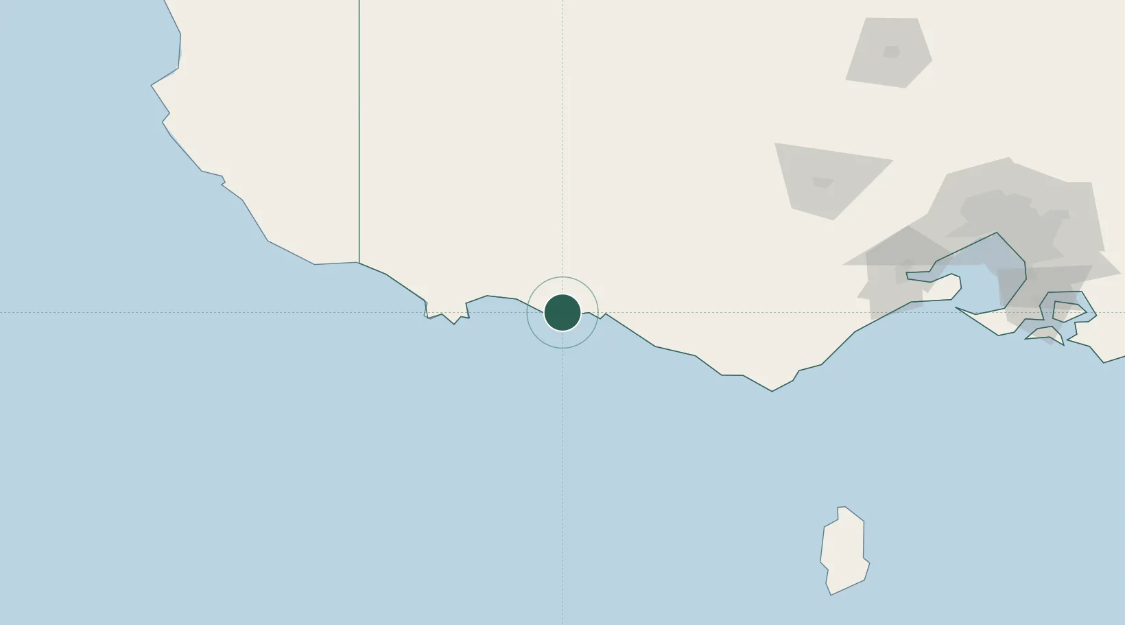
Hub Profile
Place type
Populated place
Region
Victoria
Population
3,285
Time zone
Australia/Melbourne
Elevation
10 m
Location
Nearby Logistics Neighbours
Cities
- 1Croxton65 km
- 2Tarrington95 km
- 3Alvie112 km
- 4Willaura118 km
- 5Pittong134 km
Ports
- 1Warrnambool22 km
- 2Portland55 km
- 3Geelong188 km
- 4Melbourne246 km
- 5Western Port262 km
Airports
- 1Portland Airport67 km
- 2Hamilton Airport81 km
- 3Ararat Airport135 km
- 4Mount Gambier Airport145 km
- 5Stawell Airport151 km
Trade Zones
DatabookThe Record of Consolidated Knowledge
Australia beyond logistics?