Medium airport · Australia

Oakey Army Aviation CentreYBOK
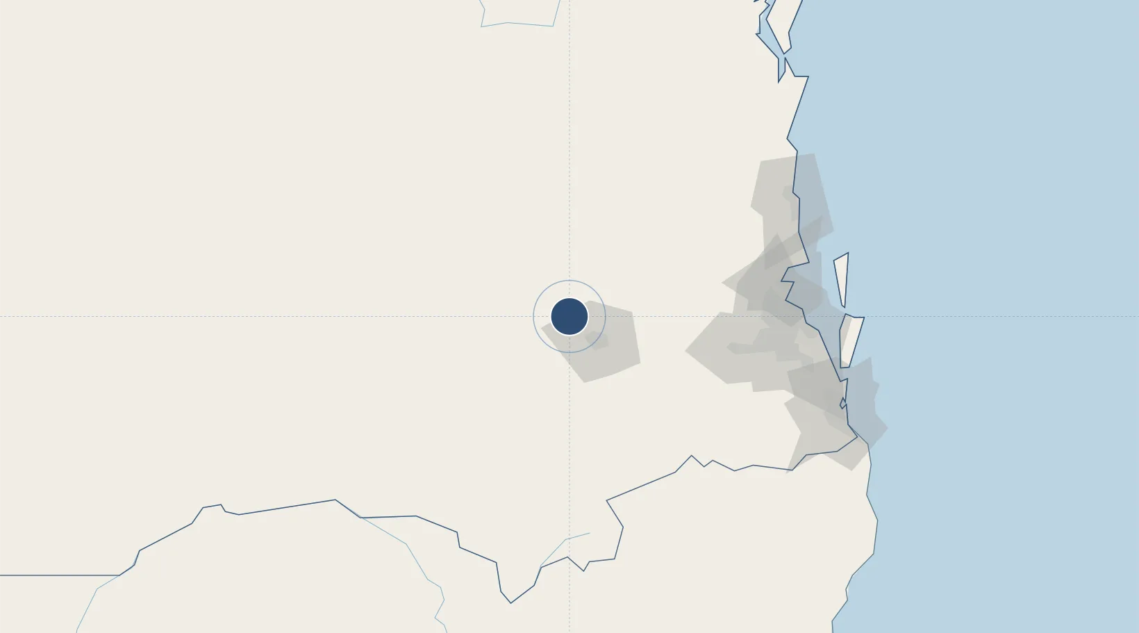
-27.4093°, 151.7367°
5,410 ft
Longest runway
5
Runways
1,335 ft
Elevation

Runway & Layout

Oakey Army Aviation Centre runway & taxiway layout
Runway & taxiway layout — OpenStreetMap (ODbL) / OurAirports

Radio Frequencies

ATIS
112.9 MHz
TWR
120.1 MHz
GND
121.9 MHz
APP
125.4 MHz
CTAF
127.65 MHz
FSS
121.2 MHz
BRISBANE CNTR
OurAirports

Navaids

OK VOR-DME Oakey 112.90 MHz
OK NDB Oakey 254 kHz
OurAirports

Runways · 5

RunwayDimensions SurfaceTrue headingLit
14/32 5,410 × 98ft Asphalt 145°
09/27 3,278 × 75ft Asphalt 100°
05/23 2,999 × 98ft Asphalt 055°
H09L/H27R 1,000 × 95ft Asphalt 098°
H09R/H27L 1,000 × 95ft Asphalt 100°
OurAirports

Airport Specifications

IATA code
OKY
OurAirports
ICAO code
YBOK
OurAirports
Airport class
Medium airport
OurAirports
Scheduled service
Yes
OurAirports
Runway surface
Asphalt
OurAirports

Location

Location of YBOK
Natural Earth 10m (public domain) · Queensland · YBOK · -27.41, 151.74GoogleOSMYandex

Nearby Logistics Neighbours

Airports
  1. 1Toowoomba Wellcamp Airport18 km
  2. 2Kingaroy Airport93 km
  3. 3RAAF Base Amberley99 km
  4. 4Chinchilla Airport132 km
  5. 5Brisbane International Airport136 km
Nearest neighbours — logibook spatial index (haversine) over the source coordinates
Cities
  1. 1Toowoomba City27 km
  2. 2Helidon42 km
  3. 3Grantham50 km
  4. 4Coominya75 km
  5. 5Clontarf80 km
Nearest neighbours — logibook spatial index (haversine) over the source coordinates
Ports
  1. 1Brisbane128 km
  2. 2Ballina242 km
  3. 3Bundaberg289 km
  4. 4Gladstone399 km
  5. 5Port Alma435 km
Nearest neighbours — logibook spatial index (haversine) over the source coordinates
Trade Zones
  1. 1Latrobe Valley Economic Growth Zone1303 km
  2. 2Paga Hill Estate Special Economic Zone2051 km
  3. 3Vanuatu Economic Development Zone2070 km
  4. 4Tulagi Island Special Economic Zone2219 km
  5. 5Ihu Special Economic Zone2270 km
Nearest neighbours — logibook spatial index (haversine) over the source coordinates
DatabookThe Record of Consolidated Knowledge
Australia beyond logistics?
Browse databook

All Sources

AirportsOurAirports
Public domain
Portsthe NGA World Port Index
Public domain (US gov)
LocationsUN/LOCODE
UN/LOCODE — free
Trade Zonesthe World Bank SEZ database
CC BY 4.0
Trade ZonesOpen Zone Map
CC BY
InfrastructureOpenStreetMap
ODbL 1.0
← Australia airports