Small airport · Australia
McArthur River Mine AirportYMHU
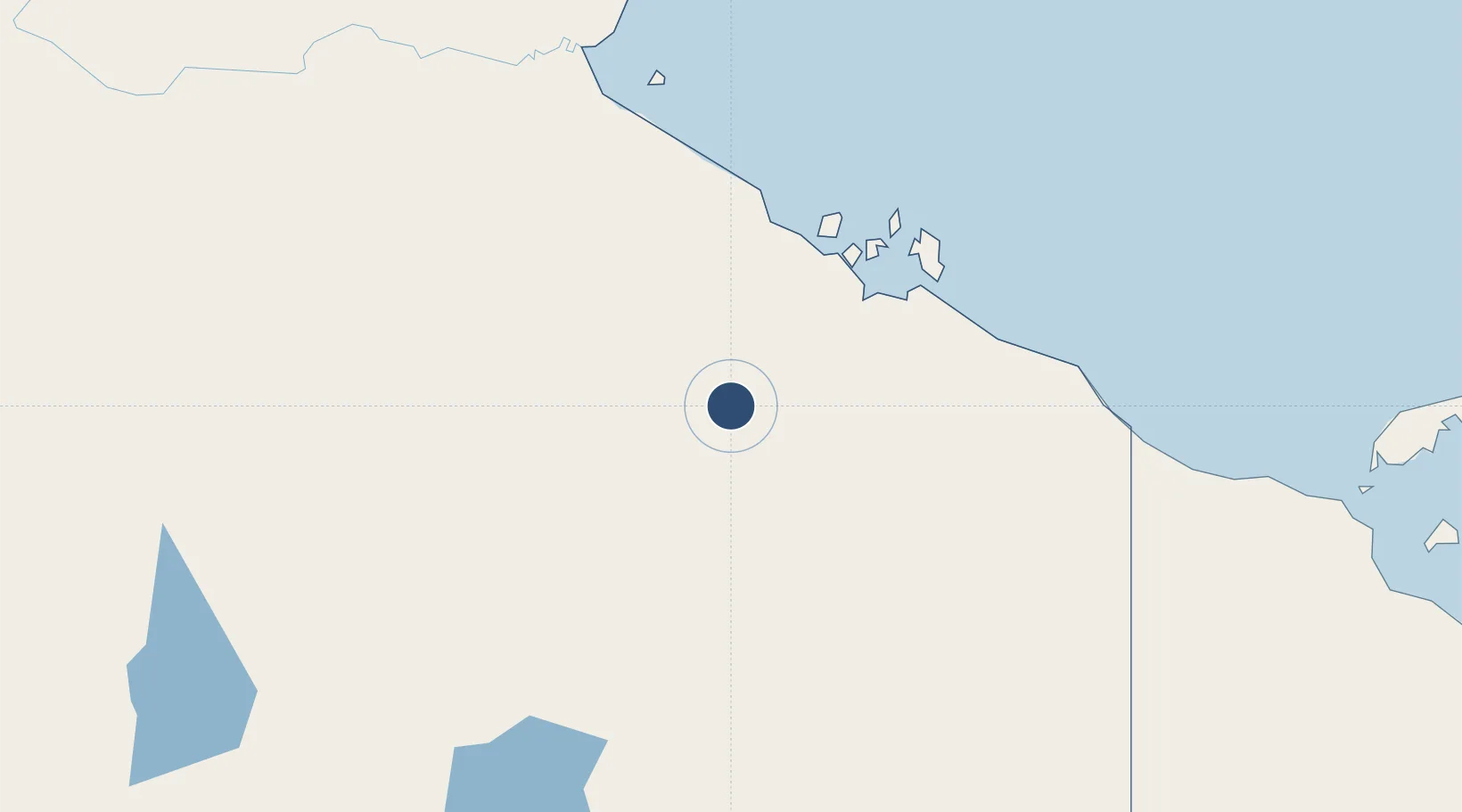
-16.4425°, 136.0840°
4,931 ft
Longest runway
1
Runways
131 ft
Elevation
Runway & Layout

Radio Frequencies
CTAF
126.7 MHz
FSS
128.5 MHz
BRISBANE CNTR
Navaids
MHU NDB Mcarthur River Mine 368 kHz
Runways · 1
| Runway | Dimensions | Surface | True heading | Lit |
|---|---|---|---|---|
| 06/24 | 4,931 × 75ft | Asphalt | 069° | ✓ |
Airport Specifications
IATA code
MCV
ICAO code
YMHU
Airport class
Small airport
Scheduled service
Yes
Runway surface
Asphalt
Served city
McArthur River Mine
Location
Nearby Logistics Neighbours
Airports
- 1Ngukurr Airport239 km
- 2Groote Eylandt Airport278 km
- 3Mornington Island Airport331 km
- 4Doomadgee Airport335 km
- 5Burketown Airport394 km
Cities
- 1Bing Bong98 km
- 2Umbakumba298 km
- 3Burketown394 km
- 4Katherine465 km
- 5Gove Harbour474 km
Ports
- 1Milner Bay289 km
- 2Gove476 km
- 3Karumba518 km
- 4Darwin716 km
- 5Weipa751 km
Trade Zones
- 1Western Province Special Economic Zone1146 km
- 2Ihu Special Economic Zone1387 km
- 3Paga Hill Estate Special Economic Zone1426 km
- 4Atauro Special Economic Zone1459 km
- 5Sandaun Special Economic Zone1483 km
DatabookThe Record of Consolidated Knowledge
Australia beyond logistics?