UN/LOCODE hub · Australia
AUPAE
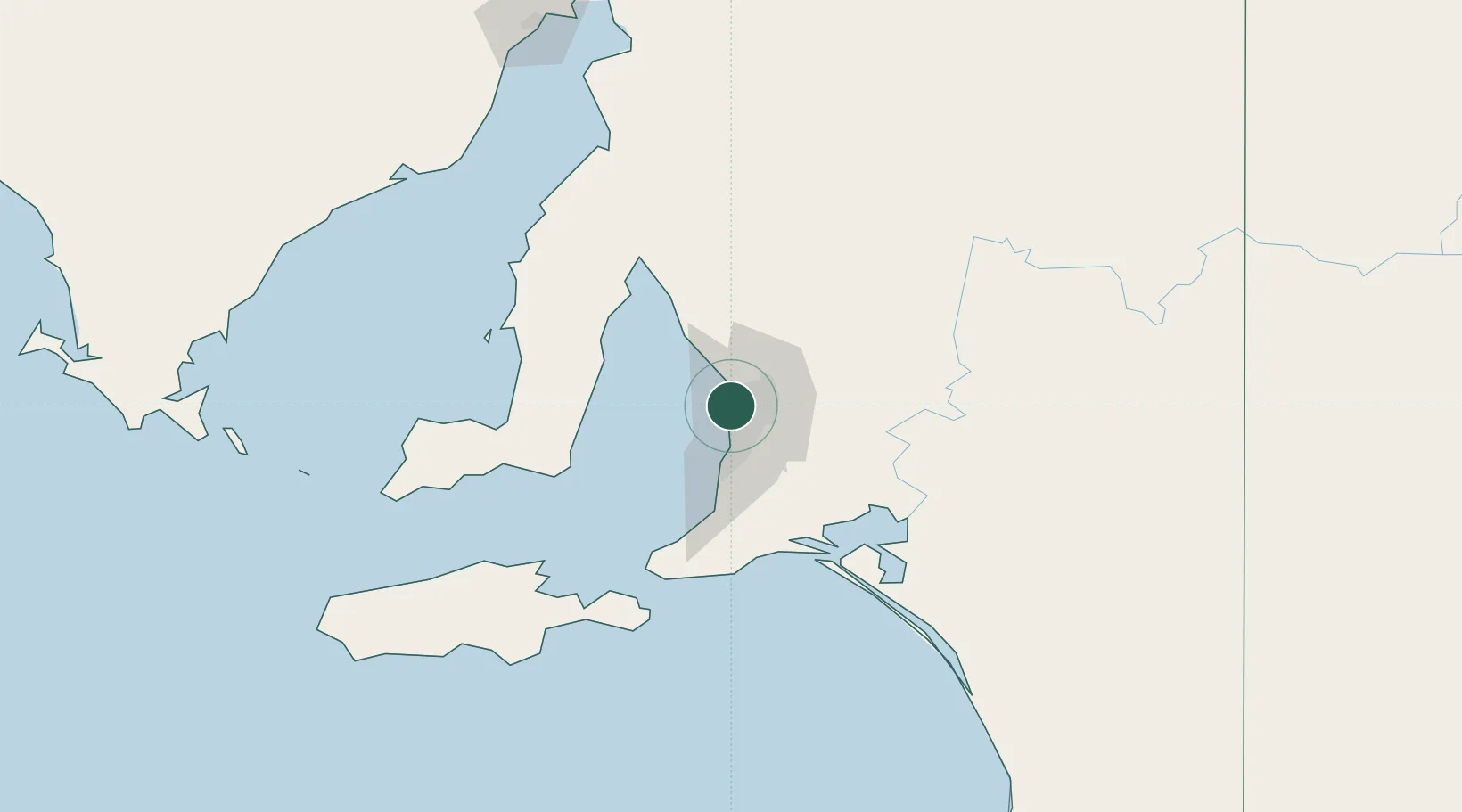
Port Adelaide
-34.8413°, 138.5174°
1,197
Population
1
Transport functions
Transport Functions
Port
Hub Profile
Place type
Urban district
Region
South Australia
Population
1,197
Time zone
Australia/Adelaide
Elevation
7 m
Logistics facilities
2
Location
Nearby Logistics Neighbours
Cities
- 1Ottoway2 km
- 2Birkenhead2 km
- 3Beverley5 km
- 4Woodville5 km
- 5Regency Park5 km
Ports
- 1Klein Point70 km
- 2Ardrossan71 km
- 3Port Giles72 km
- 4Kingscote119 km
- 5Wallaroo131 km
Airports
- 1Adelaide International Airport12 km
- 2RAAF Base Edinburgh18 km
- 3Kingscote Airport133 km
- 4Port Pirie Airport185 km
- 5Renmark Airport210 km
DatabookThe Record of Consolidated Knowledge
Australia beyond logistics?