Medium airport · Australia

Wagga Wagga AirportYSWG

-35.1635°, 147.4683°
5,807 ft
Longest runway
2
Runways
724 ft
Elevation

Runway & Layout

Wagga Wagga Airport runway & taxiway layout
Runway & taxiway layout — OpenStreetMap (ODbL) / OurAirports

Radio Frequencies

CTAF
118.2 MHz
FSS
119.5 MHz
MELBOURNE CNTR
OurAirports

Navaids

WG VOR-DME Wagga Wagga 115.00 MHz
WG NDB Wagga Wagga 221 kHz
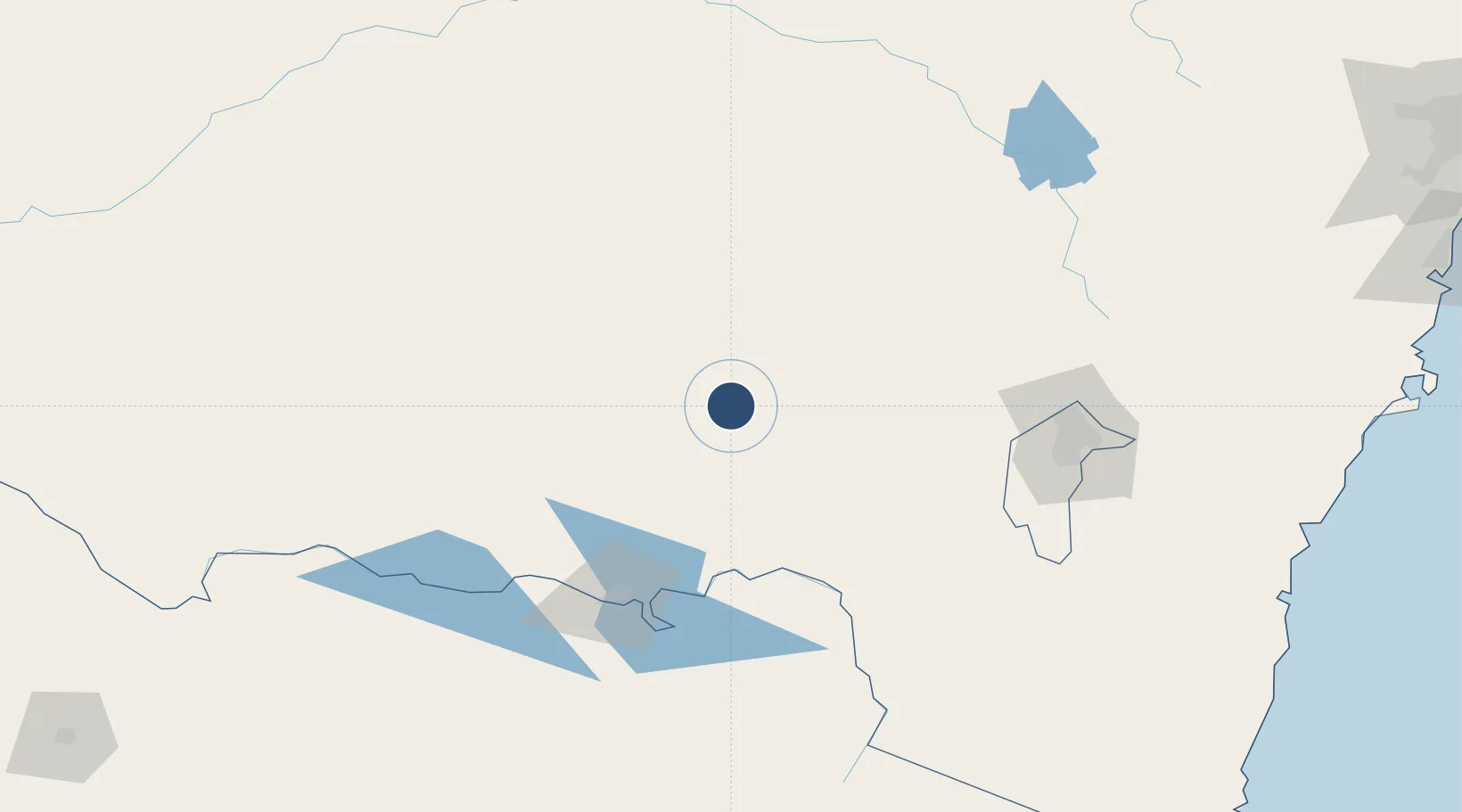
OurAirports

Runways · 2

RunwayDimensions SurfaceTrue headingLit
05/23 5,807 × 148ft Asphalt 062°
12/30 2,792 × 59ft Clay 125°
OurAirports

Airport Specifications

IATA code
WGA
OurAirports
ICAO code
YSWG
OurAirports
Airport class
Medium airport
OurAirports
Scheduled service
Yes
OurAirports
Runway surface
Asphalt
OurAirports
Served city
Forest Hill
OurAirports

Location

Location of YSWG
Natural Earth 10m (public domain) · New South Wales · YSWG · -35.16, 147.47GoogleOSMYandex

Nearby Logistics Neighbours

Airports
  1. 1Tumut Aerodrome71 km
  2. 2Cootamundra Airport79 km
  3. 3Temora Airport83 km
  4. 4Narrandera Airport101 km
  5. 5Albury Airport111 km
Nearest neighbours — logibook spatial index (haversine) over the source coordinates
Cities
  1. 1The Rock34 km
  2. 2Junee35 km
  3. 3Coolamon46 km
  4. 4Ganmain57 km
  5. 5Henty57 km
Nearest neighbours — logibook spatial index (haversine) over the source coordinates
Ports
  1. 1Batemans Bay252 km
  2. 2Jervis Bay303 km
  3. 3Eden305 km
  4. 4Port Kembla324 km
  5. 5Botany Bay368 km
Nearest neighbours — logibook spatial index (haversine) over the source coordinates
Trade Zones
  1. 1Latrobe Valley Economic Growth Zone355 km
  2. 2Paga Hill Estate Special Economic Zone2856 km
  3. 3Vanuatu Economic Development Zone2937 km
  4. 4Ihu Special Economic Zone3039 km
  5. 5Tulagi Island Special Economic Zone3171 km
Nearest neighbours — logibook spatial index (haversine) over the source coordinates
DatabookThe Record of Consolidated Knowledge
Australia beyond logistics?
Browse databook

All Sources

AirportsOurAirports
Public domain
Portsthe NGA World Port Index
Public domain (US gov)
LocationsUN/LOCODE
UN/LOCODE — free
Trade Zonesthe World Bank SEZ database
CC BY 4.0
Trade ZonesOpen Zone Map
CC BY
InfrastructureOpenStreetMap
ODbL 1.0
← Australia airports