Transport Functions
Rail
Road
Hub Profile
Place type
Populated place
Region
New South Wales
Population
1,211
Time zone
Australia/Sydney
Elevation
239 m
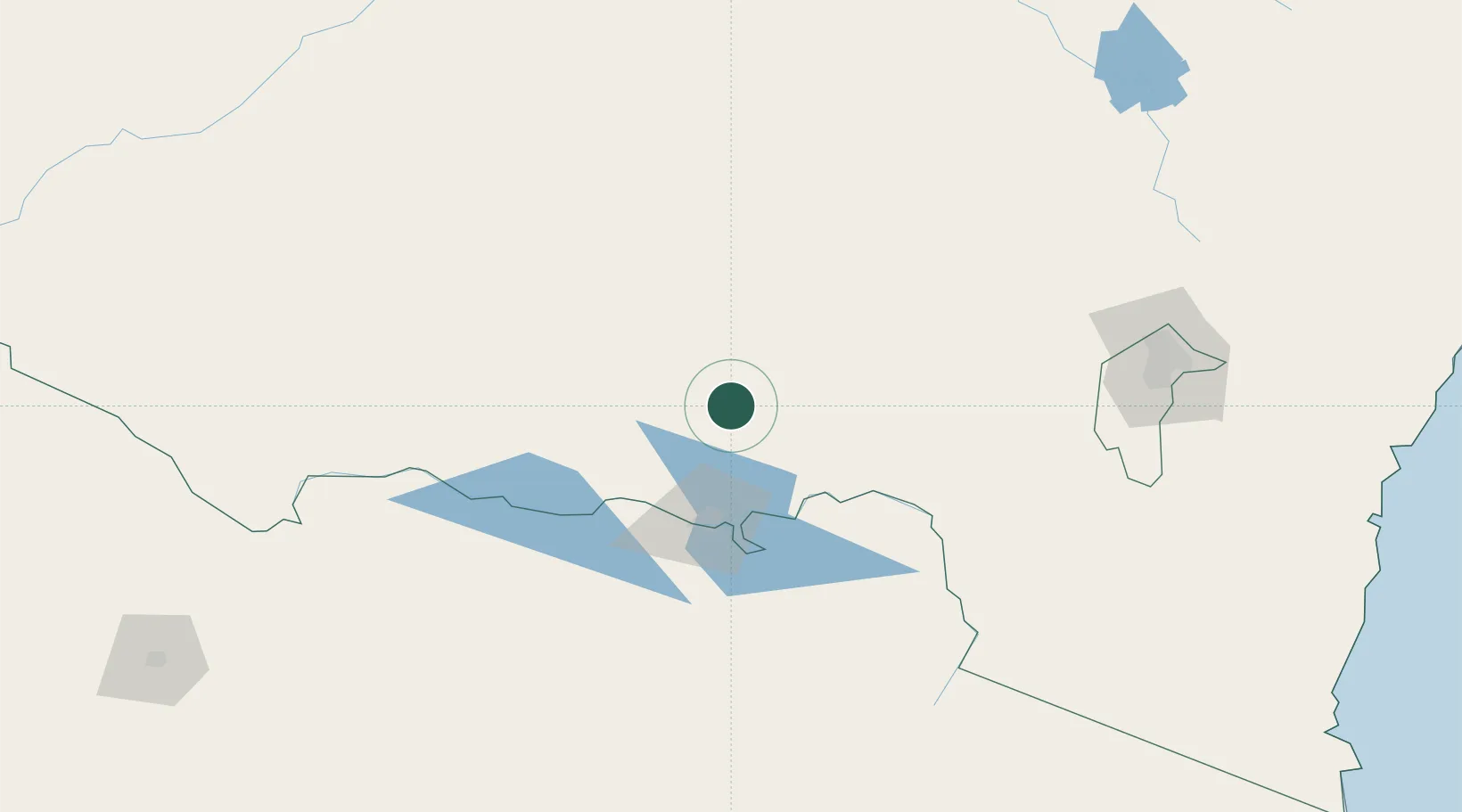
Location
Nearby Logistics Neighbours
Cities
- 1Culcairn15 km
- 2The Rock31 km
- 3Lockhart45 km
- 4Albury51 km
- 5Barnawartha71 km
Ports
- 1Batemans Bay284 km
- 2Eden310 km
- 3Melbourne315 km
- 4Jervis Bay345 km
- 5Western Port352 km
Airports
- 1Wagga Wagga Airport57 km
- 2Albury Airport60 km
- 3Corowa Airport80 km
- 4Narrandera Airport104 km
- 5Corryong Airport106 km
Trade Zones
DatabookThe Record of Consolidated Knowledge
Australia beyond logistics?