UN/LOCODE hub · Austria
ATZAC

Böheimkirchen

48.2000°, 15.7667°
1
Transport functions

Transport Functions

Multimodal
UN/LOCODE

Hub Profile

Region
3
GeoNames

Location

Location of ATZAC
Natural Earth 10m (public domain) · 3 · ATZAC · 48.20, 15.77GoogleOSMYandex

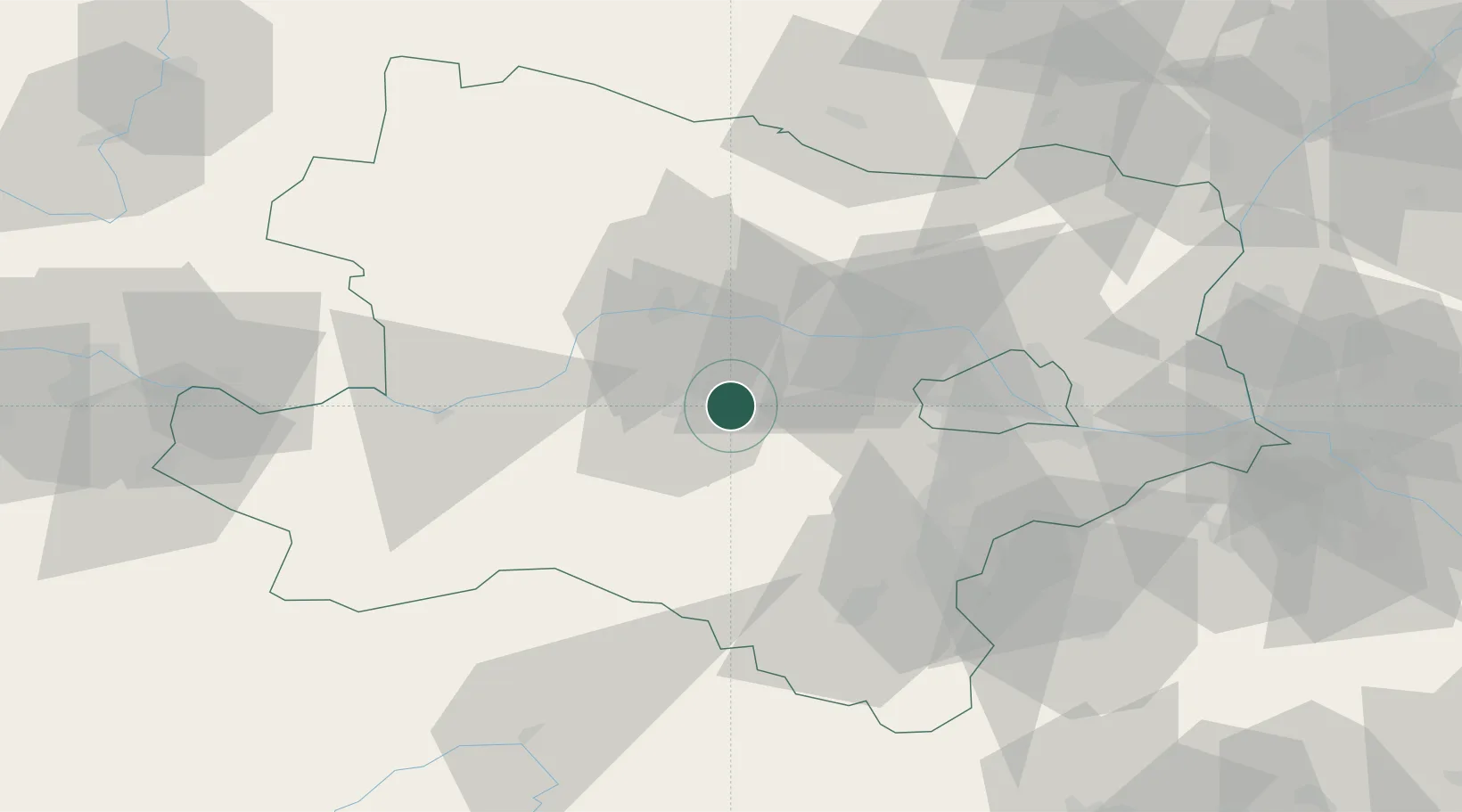
Nearby Logistics Neighbours

Cities
  1. 1Unterradlberg8 km
  2. 2Atzenbrugg14 km
  3. 3Inzersdorf an der Traisen15 km
  4. 4Traismauer15 km
  5. 5Wöllersdorf16 km
Nearest neighbours — logibook spatial index (haversine) over the source coordinates
Ports
  1. 1Monfalcone317 km
  2. 2Trieste322 km
  3. 3Muggia327 km
  4. 4Koper333 km
  5. 5Rijeka Luka335 km
Nearest neighbours — logibook spatial index (haversine) over the source coordinates
Airports
  1. 1Wiener Neustadt West Airport53 km
  2. 2Wiener Neustadt East Airport54 km
  3. 3Vienna International Airport60 km
  4. 4Malacky/Kuchyňa Air Base103 km
  5. 5M. R. Štefánik Airport107 km
Nearest neighbours — logibook spatial index (haversine) over the source coordinates
Trade Zones
  1. 1Černovická Terasa Industrial Zone127 km
  2. 2Veselí nad Moravou Industrial Zone145 km
  3. 3Světlá nad Sázavou Municipal Industrial Zone165 km
  4. 4Holešov Industrial Zone181 km
  5. 5Industrial Zone Kutna Hora196 km
Nearest neighbours — logibook spatial index (haversine) over the source coordinates
DatabookThe Record of Consolidated Knowledge
Austria beyond logistics?
Browse databook

All Sources

LocationsUN/LOCODE
UN/LOCODE — free
Portsthe NGA World Port Index
Public domain (US gov)
AirportsOurAirports
Public domain
Trade Zonesthe World Bank SEZ database
CC BY 4.0
Trade ZonesOpen Zone Map
CC BY
← Austria locations