Seaport · Italy
TriesteITTRS
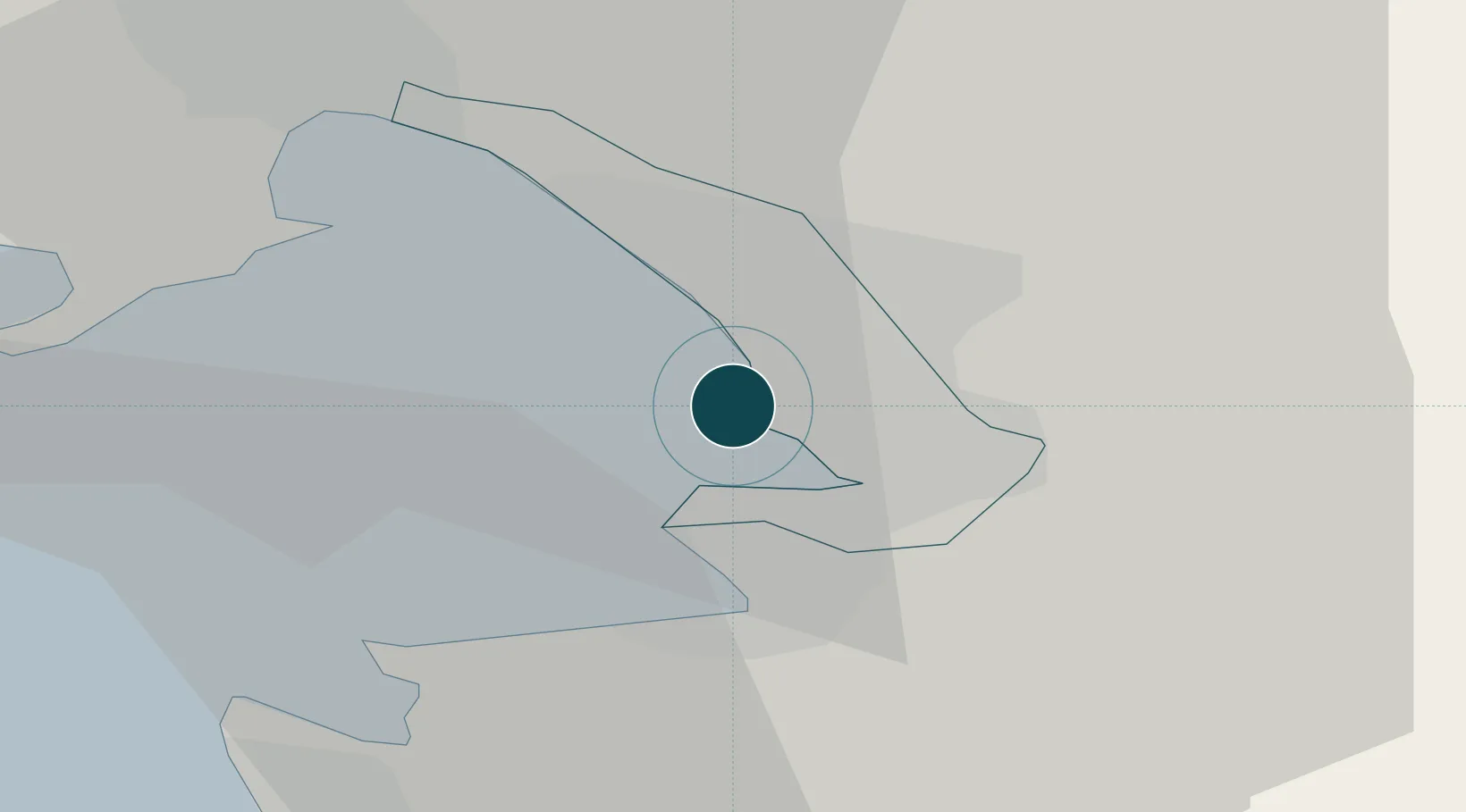
45.6510°, 13.7460°
17.1 m
Channel depth
2
Container terminals
168.6
Port liner connectivity
Channel & Berth Profile
Pilotage, Tugs & Services
Pilotage compulsoryYES
Pilotage availableYES
Pilotage advisableYES
Tug assistanceYES
Salvage tugsYES
Shore powerYES
Potable waterYES
Diesel bunkersYES
MedicalYES
Garbage disposalYES
Facilities & Capabilities
Container—
Ro-Ro—
Liquid bulk—
Dry bulk—
Oil terminal—
Break bulk—
Dry dockNO
RepairsNO
BunkeringYES
Rail linkYES
Dangerous cargo—
ISPS security—
Harbour Specifications
Harbour size
Large
Harbour type
Coastal (Breakwater)
Shelter
Good
Water body
Adriatic Sea; Mediterranean Sea; North Atlantic Ocean
Tidal range
1 m
Overhead limit
No
Pilotage
Yes
Liner Connectivity
168.6
PLSCI
Port Liner Shipping Connectivity Index for Trieste, as published by UNCTAD for the latest available quarter. Higher values indicate stronger scheduled liner-shipping integration.
Shown relative to the highest per-port PLSCI in the dataset (1,657.9).
Location
Container Terminals · 2
HHLA PLT ITALY
PLT
TRIESTE MARINE TERMINAL (TMT)
TMT TRIESTE MARINE TERMINAL
Nearby Logistics Neighbours
Ports
- 1Muggia6 km
- 2Koper11 km
- 3Piran19 km
- 4Monfalcone21 km
- 5Umag30 km
Cities
- 1Muggia6 km
- 2Zaule7 km
- 3San Dorligo della Valle9 km
- 4Koper11 km
- 5Aurisina11 km
Airports
- 1Portorož Airport22 km
- 2Trieste Airport29 km
- 3Udine-Rivolto Air Base65 km
- 4Rijeka Airport81 km
- 5Ljubljana Jože Pučnik Airport84 km
Trade Zones
- 1Free Port of Trieste1 km
- 2Port of Rijeka Free Zone65 km
- 3Free Zone Kukuljanovo69 km
- 4Port of Pula Free Zone88 km
- 5Free Port of Venice114 km
DatabookThe Record of Consolidated Knowledge
Italy beyond logistics?