Transport Functions
Port
Rail
Road
Hub Profile
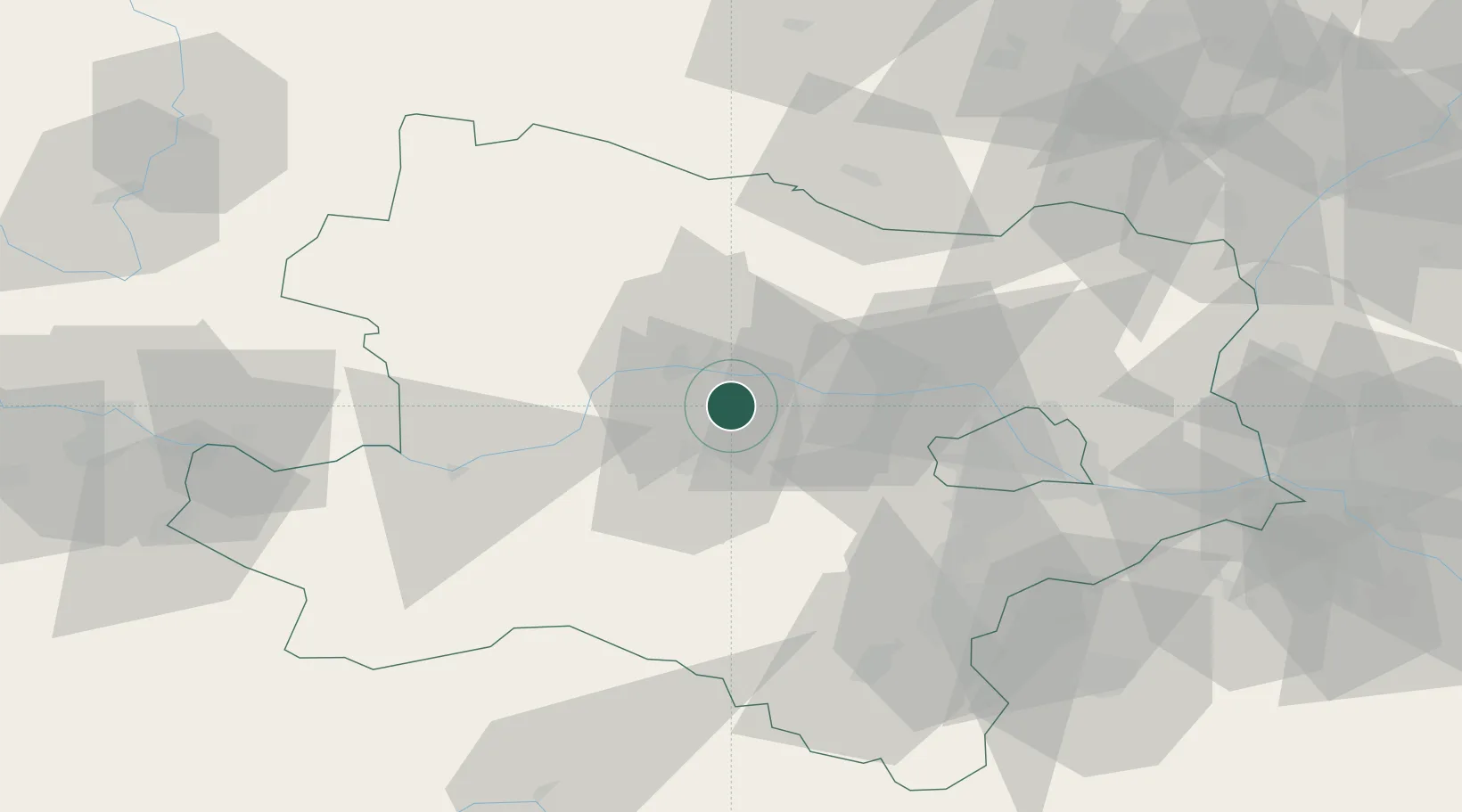
Place type
District seat
Region
Lower Austria
Population
2,750
Time zone
Europe/Vienna
Elevation
193 m
Location
Nearby Logistics Neighbours
Cities
- 1Reichersdorf3 km
- 2Inzersdorf an der Traisen5 km
- 3Hobenbach6 km
- 4Theiss7 km
- 5Unterradlberg10 km
Ports
- 1Monfalcone328 km
- 2Trieste334 km
- 3Muggia339 km
- 4Koper345 km
- 5Nogaro346 km
Airports
- 1Wiener Neustadt West Airport66 km
- 2Vienna International Airport67 km
- 3Wiener Neustadt East Airport67 km
- 4Náměšť Air Base97 km
- 5Malacky/Kuchyňa Air Base103 km
Trade Zones
DatabookThe Record of Consolidated Knowledge
Austria beyond logistics?