Transport Functions
Rail
Multimodal
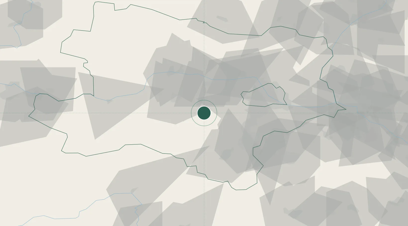
Location
Nearby Logistics Neighbours
Cities
- 1Hainfeld10 km
- 2Böheimkirchen16 km
- 3Lilienfeld20 km
- 4Wilhelmsburg21 km
- 5Atzenbrugg22 km
Ports
- 1Monfalcone311 km
- 2Trieste316 km
- 3Muggia320 km
- 4Rijeka Luka325 km
- 5Koper326 km
Airports
Trade Zones
DatabookThe Record of Consolidated Knowledge
Austria beyond logistics?