Seaport · Croatia
Rijeka LukaHRRJK
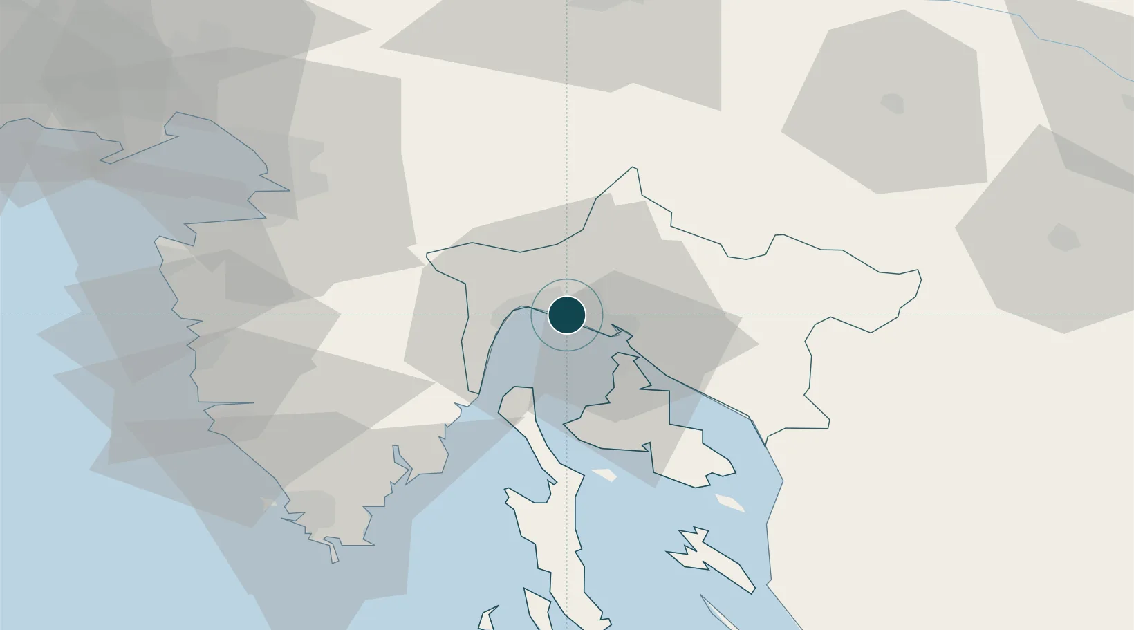
45.3333°, 14.4333°
17.1 m
Channel depth
2
Container terminals
122.7
Port liner connectivity
Channel & Berth Profile
Pilotage, Tugs & Services
Pilotage compulsoryYES
Pilotage availableYES
Tug assistanceYES
Shore powerYES
Potable waterYES
Diesel bunkersYES
MedicalYES
Garbage disposalYES
Facilities & Capabilities
Container—
Ro-Ro—
Liquid bulk—
Dry bulk—
Oil terminal—
Break bulk—
Dry dockNO
RepairsNO
BunkeringYES
Rail linkYES
Dangerous cargo—
ISPS security—
Harbour Specifications
Harbour size
Large
Harbour type
River (Basins)
Shelter
Good
Water body
Adriatic Sea; Mediterranean Sea; North Atlantic Ocean
Tidal range
1 m
Pilotage
Yes
Liner Connectivity
122.7
PLSCI
Port Liner Shipping Connectivity Index for Rijeka Luka, as published by UNCTAD for the latest available quarter. Higher values indicate stronger scheduled liner-shipping integration.
Shown relative to the highest per-port PLSCI in the dataset (1,657.9).
Location
Container Terminals · 2
ADRIATIC GATE CONTAINER TERMINAL (AGCT)
AGCT LUKA RIJEKA / INTERNATIONAL CONTAINER TERMINAL SERVICES INC. (ICTSI)
RIJEKA GATEWAY (RGW)
RGW RIJEKA GATEWAY DOO (APM TERMINALS / ENNA)
Nearby Logistics Neighbours
Ports
- 1Bakar9 km
- 2Omisalj16 km
- 3Zaliv Rasa43 km
- 4Senj53 km
- 5Koper60 km
Airports
- 1Rijeka Airport17 km
- 2Pula Airport63 km
- 3Portorož Airport66 km
- 4Trieste Airport93 km
- 5Ljubljana Jože Pučnik Airport99 km
Trade Zones
- 1Free Zone Kukuljanovo6 km
- 2Port of Rijeka Free Zone21 km
- 3Free Port of Trieste63 km
- 4Port of Pula Free Zone70 km
- 5PJ Free Zone Zagreb124 km
DatabookThe Record of Consolidated Knowledge
Croatia beyond logistics?