Large airport · Slovakia

M. R. Štefánik AirportLZIB
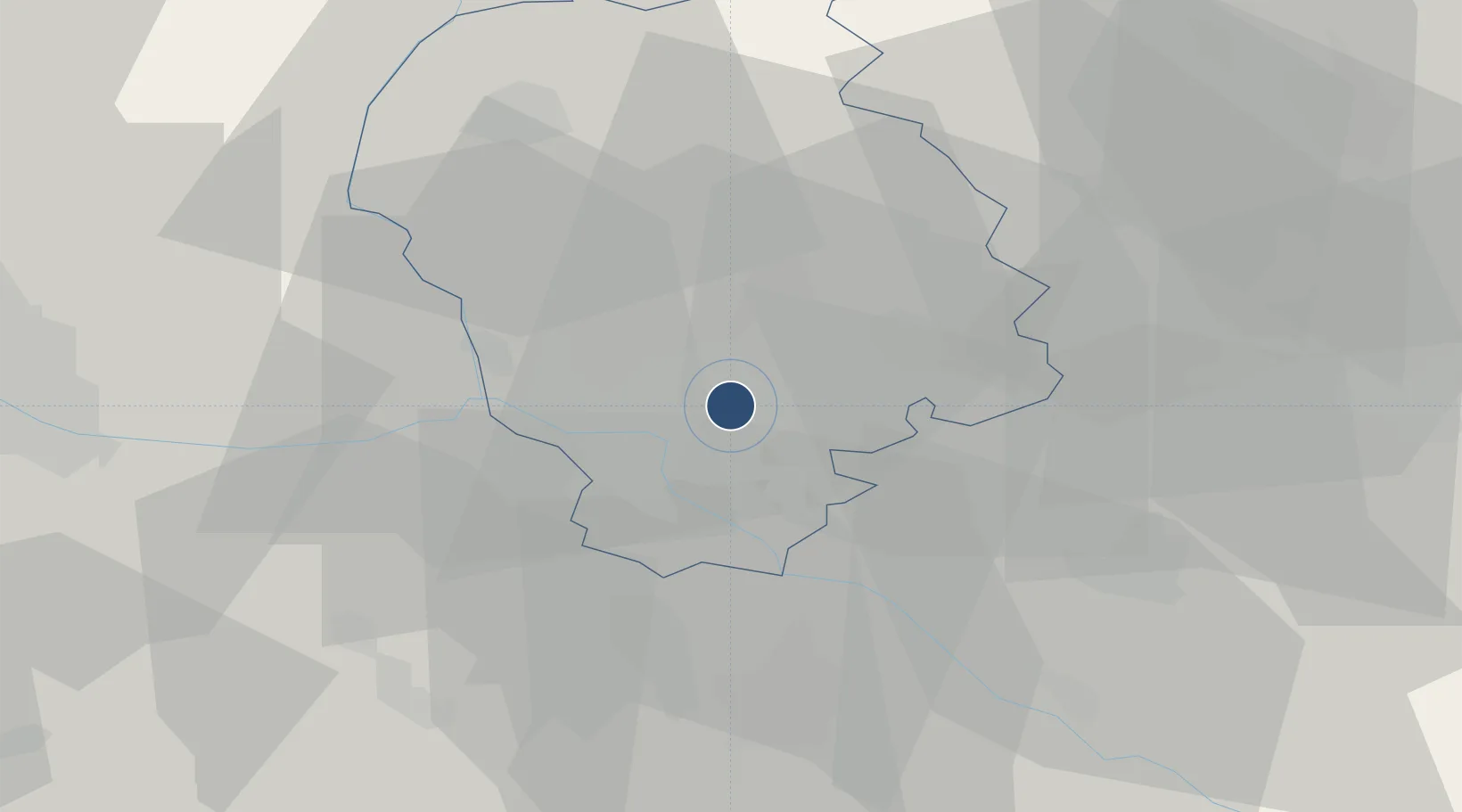
48.1702°, 17.2127°
10,466 ft
Longest runway
2
Runways
436 ft
Elevation

Runway & Layout

M. R. Štefánik Airport runway & taxiway layout
Runway & taxiway layout — OpenStreetMap (ODbL) / OurAirports

Radio Frequencies

ATIS
128.65 MHz
TWR
118.3 MHz
APP
120.9 MHz
OurAirports

Navaids

JAN VOR-DME Janovce 110.80 MHz
OB NDB Stefanik South 330 kHz
OKR NDB Stefanik North 391 kHz
OurAirports

Runways · 2

RunwayDimensions SurfaceTrue headingLit
13/31 10,466 × 148ft Concrete 134°
04/22 9,515 × 197ft Concrete 044°
OurAirports

Airport Specifications

IATA code
BTS
OurAirports
ICAO code
LZIB
OurAirports
Airport class
Large airport
OurAirports
Scheduled service
Yes
OurAirports
Runway surface
Concrete
OurAirports
Served city
Bratislava
OurAirports

Location

Location of LZIB
Natural Earth 10m (public domain) · Bratislavský · LZIB · 48.17, 17.21GoogleOSMYandex

Nearby Logistics Neighbours

Airports
  1. 1Malacky/Kuchyňa Air Base27 km
  2. 2Vienna International Airport48 km
  3. 3Piešťany Airport68 km
  4. 4Győr-Pér Airport75 km
  5. 5Wiener Neustadt East Airport80 km
Nearest neighbours — logibook spatial index (haversine) over the source coordinates
Cities
  1. 1Ivanka pri Dunaji4 km
  2. 2Bratislava5 km
  3. 3Chorvátsky Grob7 km
  4. 4Vinohrady9 km
  5. 5Senec15 km
Nearest neighbours — logibook spatial index (haversine) over the source coordinates
Ports
  1. 1Bakar379 km
  2. 2Rijeka Luka380 km
  3. 3Monfalcone384 km
  4. 4Trieste384 km
  5. 5Omisalj386 km
Nearest neighbours — logibook spatial index (haversine) over the source coordinates
Trade Zones
  1. 1Veselí nad Moravou Industrial Zone88 km
  2. 2Černovická Terasa Industrial Zone118 km
  3. 3Holešov Industrial Zone131 km
  4. 4Göd Special Economic Zone156 km
  5. 5Mošnov Development Area181 km
Nearest neighbours — logibook spatial index (haversine) over the source coordinates
DatabookThe Record of Consolidated Knowledge
Slovakia beyond logistics?
Browse databook

All Sources

AirportsOurAirports
Public domain
Portsthe NGA World Port Index
Public domain (US gov)
LocationsUN/LOCODE
UN/LOCODE — free
Trade Zonesthe World Bank SEZ database
CC BY 4.0
Trade ZonesOpen Zone Map
CC BY
InfrastructureOpenStreetMap
ODbL 1.0
← Slovakia airports