Medium airport · Austria
Wiener Neustadt West AirportLOXN
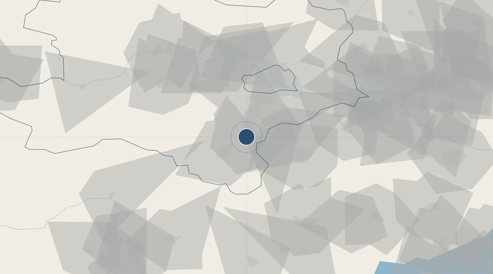
47.8369°, 16.2218°
5,314 ft
Longest runway
6
Runways
935 ft
Elevation
Runway & Layout

Radio Frequencies
TWR
130.15 MHz
Wiener Neustadt West TWR
Runways · 6
| Runway | Dimensions | Surface | True heading | Lit |
|---|---|---|---|---|
| 18L/36R | 5,314 × 147ft | GRASS | — | — |
| 04/22 | 4,918 × 147ft | Grass | 040° | — |
| 14L/32R | 3,082 × 99ft | Grass | 180° | — |
| 14R/32L | 3,082 × 99ft | Grass | 140° | — |
| 18R/36L | 2,852 × 99ft | Grass | 180° | — |
| 09/27 | 2,754 × 99ft | Grass | 090° | — |
Airport Specifications
ICAO code
LOXN
Airport class
Medium airport
Scheduled service
No
Runway surface
GRASS
Served city
Wiener Neustadt
Location
Nearby Logistics Neighbours
Airports
- 1Wiener Neustadt East Airport3 km
- 2Vienna International Airport40 km
- 3M. R. Štefánik Airport83 km
- 4Malacky/Kuchyňa Air Base92 km
- 5Graz Airport111 km
Cities
- 1Bad Fischau4 km
- 2Wöllersdorf-Steinabrückl4 km
- 3Felixdorf6 km
- 4Weikersdorf am Steinfelde8 km
- 5Muthmannsdorf9 km
Ports
- 1Monfalcone306 km
- 2Trieste308 km
- 3Rijeka Luka310 km
- 4Bakar310 km
- 5Muggia311 km
Trade Zones
- 1Veselí nad Moravou Industrial Zone151 km
- 2Černovická Terasa Industrial Zone152 km
- 3Sjever Free Zone172 km
- 4Krapina-Zagorje Free Zone189 km
- 5Holešov Industrial Zone192 km
DatabookThe Record of Consolidated Knowledge
Austria beyond logistics?