Free Trade Zone · Czechia

Černovická Terasa Industrial Zone Active
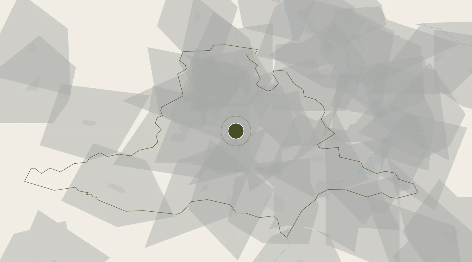
49.1723°, 16.6737°
200 ha
Zone area
443.9 km
Nearest port
2.8 km
Nearest airport

Gateway access

Nearest neighbours — logibook spatial index (haversine) over the source coordinates

Zone profile

Zone type
Free Trade Zone
Open Zone Map
Region
Jihomoravský
Open Zone Map
Status
Active
Open Zone Map
Management
Public
Open Zone Map
Operator
Brno Municipal Authority
Open Zone Map
Legal framework
Act No 183/2006, on Regional Economic Development
Open Zone Map

Location

Location of ozm-1751
Natural Earth 10m (public domain) · Jihomoravský · ozm-1751 · 49.17, 16.67GoogleOSMYandex

Nearby Logistics Neighbours

Ports
  1. 1Monfalcone444 km
  2. 2Trieste449 km
  3. 3Muggia453 km
  4. 4Rijeka Luka459 km
  5. 5Koper460 km
Nearest neighbours — logibook spatial index (haversine) over the source coordinates
Airports
  1. 1Brno-Tuřany Airport3 km
  2. 2Náměšť Air Base40 km
  3. 3Kunovice Airport58 km
  4. 4Přerov Air Base60 km
  5. 5Malacky/Kuchyňa Air Base92 km
Nearest neighbours — logibook spatial index (haversine) over the source coordinates
Cities
  1. 1Brno4 km
  2. 2Jiríkovice6 km
  3. 3Slapanice6 km
  4. 4Strelice13 km
  5. 5Slavkov u Brna14 km
Nearest neighbours — logibook spatial index (haversine) over the source coordinates
Trade Zones
  1. 1Veselí nad Moravou Industrial Zone57 km
  2. 2Holešov Industrial Zone65 km
  3. 3Světlá nad Sázavou Municipal Industrial Zone106 km
  4. 4Bruntál Industrial Zone109 km
  5. 5Pardubice City Industrial Zone113 km
Nearest neighbours — logibook spatial index (haversine) over the source coordinates
DatabookThe Record of Consolidated Knowledge
Czechia beyond logistics?
Browse databook

All Sources

Trade ZonesOpen Zone Map
CC BY
Portsthe NGA World Port Index
Public domain (US gov)
AirportsOurAirports
Public domain
LocationsUN/LOCODE
UN/LOCODE — free
← Czechia trade zones