Transport Functions
Rail
Road
Hub Profile
Place type
Urban district
Region
Lower Austria
Population
783
Time zone
Europe/Vienna
Elevation
241 m
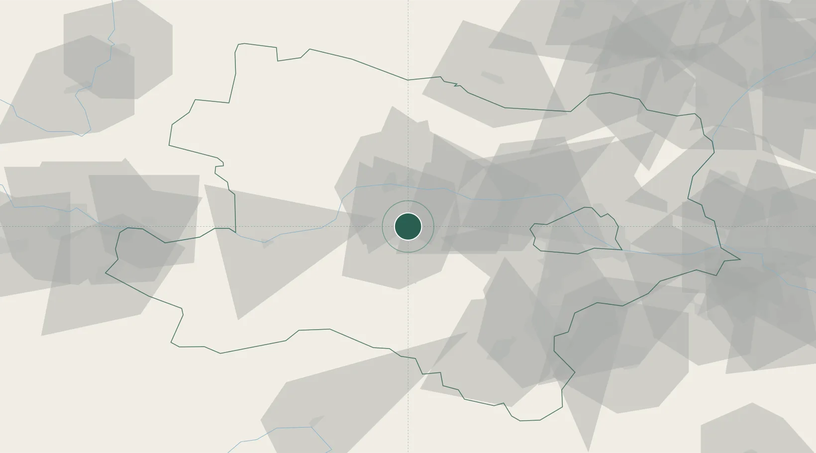
Location
Nearby Logistics Neighbours
Cities
- 1Inzersdorf an der Traisen8 km
- 2Böheimkirchen8 km
- 3Reichersdorf9 km
- 4Traismauer10 km
- 5Hobenbach11 km
Ports
- 1Monfalcone318 km
- 2Trieste324 km
- 3Muggia329 km
- 4Koper335 km
- 5Nogaro336 km
Airports
- 1Wiener Neustadt West Airport61 km
- 2Wiener Neustadt East Airport62 km
- 3Vienna International Airport68 km
- 4Náměšť Air Base107 km
- 5Malacky/Kuchyňa Air Base107 km
Trade Zones
DatabookThe Record of Consolidated Knowledge
Austria beyond logistics?