Medium airport · Austria
Wiener Neustadt East AirportLOAN
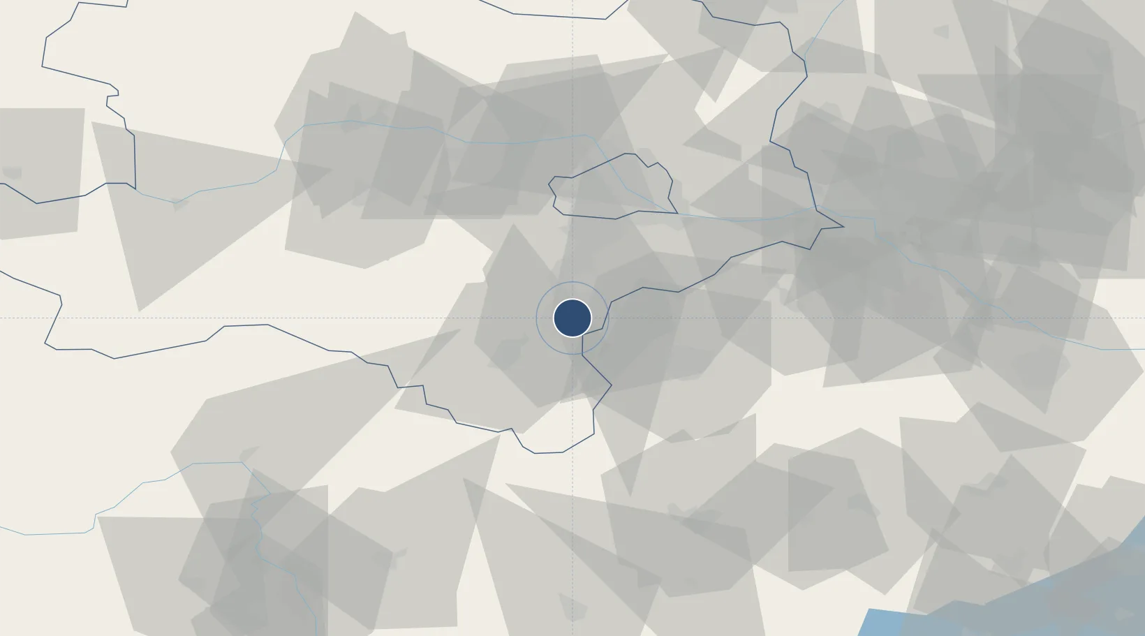
47.8433°, 16.2601°
3,500 ft
Longest runway
1
Runways
896 ft
Elevation
Runway & Layout

Radio Frequencies
A/D
130.005 MHz
Wiener Neustadt Aerodrome
AFIS
122.65 MHz
INFO
118.52 MHz
WIEN INFO
Navaids
TF NDB Wierner Neustadt East 315 kHz
Runways · 1
| Runway | Dimensions | Surface | True heading | Lit |
|---|---|---|---|---|
| 09/27 | 3,500 × 75ft | Asphalt | 097° | ✓ |
Airport Specifications
ICAO code
LOAN
Airport class
Medium airport
Scheduled service
No
Runway surface
Asphalt
Served city
Wiener Neustadt
Location
Nearby Logistics Neighbours
Airports
- 1Wiener Neustadt West Airport3 km
- 2Vienna International Airport38 km
- 3M. R. Štefánik Airport80 km
- 4Malacky/Kuchyňa Air Base89 km
- 5Graz Airport113 km
Cities
- 1Felixdorf5 km
- 2Wöllersdorf-Steinabrückl7 km
- 3Bad Fischau7 km
- 4Enzesfeld10 km
- 5Kottingbrunn11 km
Ports
- 1Monfalcone308 km
- 2Trieste310 km
- 3Rijeka Luka312 km
- 4Bakar312 km
- 5Muggia314 km
Trade Zones
- 1Veselí nad Moravou Industrial Zone149 km
- 2Černovická Terasa Industrial Zone151 km
- 3Sjever Free Zone173 km
- 4Holešov Industrial Zone190 km
- 5Krapina-Zagorje Free Zone190 km
DatabookThe Record of Consolidated Knowledge
Austria beyond logistics?