UN/LOCODE hub · Austria
ATZIN

Inzersdorf an der Traisen

48.3167°, 15.6667°
1
Transport functions

Transport Functions

Port
UN/LOCODE

Hub Profile

Region
3
GeoNames

Location

Location of ATZIN
Natural Earth 10m (public domain) · 3 · ATZIN · 48.32, 15.67GoogleOSMYandex

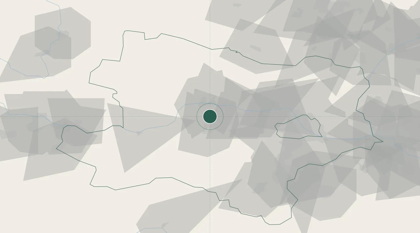
Nearby Logistics Neighbours

Cities
  1. 1Reichersdorf3 km
  2. 2Hobenbach4 km
  3. 3Traismauer5 km
  4. 4Theiss8 km
  5. 5Unterradlberg8 km
Nearest neighbours — logibook spatial index (haversine) over the source coordinates
Ports
  1. 1Monfalcone324 km
  2. 2Trieste330 km
  3. 3Muggia335 km
  4. 4Koper341 km
  5. 5Nogaro342 km
Nearest neighbours — logibook spatial index (haversine) over the source coordinates
Airports
  1. 1Wiener Neustadt West Airport67 km
  2. 2Wiener Neustadt East Airport69 km
  3. 3Vienna International Airport71 km
  4. 4Náměšť Air Base100 km
  5. 5Malacky/Kuchyňa Air Base108 km
Nearest neighbours — logibook spatial index (haversine) over the source coordinates
Trade Zones
  1. 1Černovická Terasa Industrial Zone120 km
  2. 2Veselí nad Moravou Industrial Zone144 km
  3. 3Světlá nad Sázavou Municipal Industrial Zone151 km
  4. 4Holešov Industrial Zone177 km
  5. 5Industrial Zone Kutna Hora182 km
Nearest neighbours — logibook spatial index (haversine) over the source coordinates
DatabookThe Record of Consolidated Knowledge
Austria beyond logistics?
Browse databook

All Sources

LocationsUN/LOCODE
UN/LOCODE — free
Portsthe NGA World Port Index
Public domain (US gov)
AirportsOurAirports
Public domain
Trade Zonesthe World Bank SEZ database
CC BY 4.0
Trade ZonesOpen Zone Map
CC BY
← Austria locations