Economic Revitalization Project · Czechia

Světlá nad Sázavou Municipal Industrial Zone Active
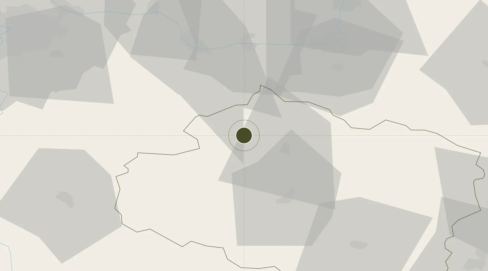
49.6681°, 15.4175°
10 ha
Zone area
421.1 km
Nearest port
30.3 km
Nearest airport

Gateway access

Nearest neighbours — logibook spatial index (haversine) over the source coordinates

Zone profile

Zone type
Economic Revitalization Project
Open Zone Map
Region
Vysočina
Open Zone Map
Status
Active
Open Zone Map
Management
Public-Private Partnership
Open Zone Map
Operator
YZO Světlá s.r.o. / SNS Municipal Authority
Open Zone Map
Legal framework
Act No 72/2000 Coll., on Investment Incentives
Open Zone Map

Location

Location of ozm-1738
Natural Earth 10m (public domain) · Vysočina · ozm-1738 · 49.67, 15.42GoogleOSMYandex

Nearby Logistics Neighbours

Ports
  1. 1Szczecin421 km
  2. 2Police438 km
  3. 3Monfalcone454 km
  4. 4Trieste464 km
  5. 5Nogaro466 km
Nearest neighbours — logibook spatial index (haversine) over the source coordinates
Airports
  1. 1Čáslav Air Base30 km
  2. 2Pardubice Airport45 km
  3. 3Kostomlaty Airstrip70 km
  4. 4Náměšť Air Base76 km
  5. 5Prague–Kbely Air Base80 km
Nearest neighbours — logibook spatial index (haversine) over the source coordinates
Cities
  1. 1Ledec nad Sázavou10 km
  2. 2Havlíckuv Brod13 km
  3. 3Humpolec14 km
  4. 4Golcuv Jeníkov17 km
  5. 5Chotebor20 km
Nearest neighbours — logibook spatial index (haversine) over the source coordinates
Trade Zones
  1. 1Industrial Zone Kutna Hora31 km
  2. 2Kolín - Ovčáry Industrial Zone47 km
  3. 3Pardubice City Industrial Zone49 km
  4. 4Černovická Terasa Industrial Zone106 km
  5. 5Kamienna Góra132 km
Nearest neighbours — logibook spatial index (haversine) over the source coordinates
DatabookThe Record of Consolidated Knowledge
Czechia beyond logistics?
Browse databook

All Sources

Trade ZonesOpen Zone Map
CC BY
Portsthe NGA World Port Index
Public domain (US gov)
AirportsOurAirports
Public domain
LocationsUN/LOCODE
UN/LOCODE — free
← Czechia trade zones