Seaport · Slovenia
KoperSIKOP
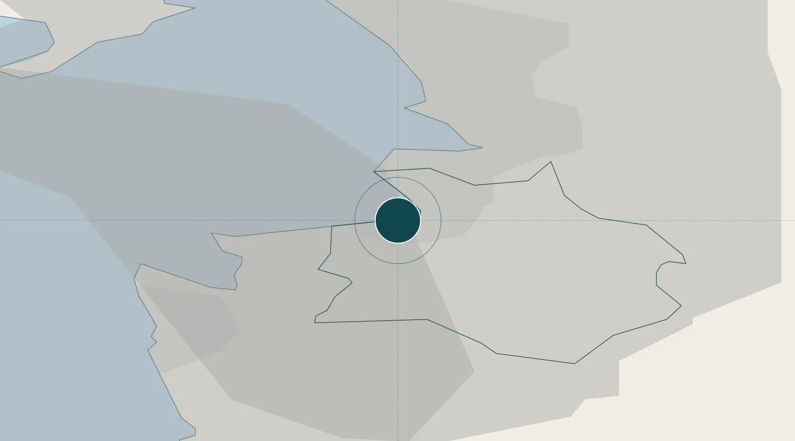
45.5500°, 13.7333°
12.5 m
Channel depth
1
Container terminals
177.9
Port liner connectivity
Channel & Berth Profile
Pilotage, Tugs & Services
Pilotage compulsoryYES
Pilotage availableYES
Tug assistanceYES
Salvage tugsYES
Shore powerYES
Potable waterYES
Diesel bunkersYES
MedicalYES
Garbage disposalYES
Facilities & Capabilities
Container—
Ro-Ro—
Liquid bulk—
Dry bulk—
Oil terminal—
Break bulk—
Dry dockNO
RepairsNO
BunkeringYES
Rail linkYES
Dangerous cargo—
ISPS security—
Harbour Specifications
Harbour size
Small
Harbour type
Coastal (Natural)
Shelter
Fair
Water body
Adriatic Sea; Mediterranean Sea; North Atlantic Ocean
Tidal range
1 m
Overhead limit
No
Pilotage
Yes
Liner Connectivity
177.9
PLSCI
Port Liner Shipping Connectivity Index for Koper, as published by UNCTAD for the latest available quarter. Higher values indicate stronger scheduled liner-shipping integration.
Shown relative to the highest per-port PLSCI in the dataset (1,657.9).
Location
Container Terminals · 1
PORT OF KOPER
LUKA LUKA KOPER D.D.
Nearby Logistics Neighbours
Ports
- 1Muggia6 km
- 2Trieste11 km
- 3Piran13 km
- 4Umag21 km
- 5Monfalcone30 km
Cities
- 1Muggia6 km
- 2Zaule8 km
- 3Trieste9 km
- 4San Dorligo della Valle11 km
- 5Secovlje13 km
Airports
- 1Portorož Airport13 km
- 2Trieste Airport37 km
- 3Udine-Rivolto Air Base71 km
- 4Pula Airport75 km
- 5Rijeka Airport75 km
Trade Zones
- 1Free Port of Trieste11 km
- 2Port of Rijeka Free Zone57 km
- 3Free Zone Kukuljanovo65 km
- 4Port of Pula Free Zone77 km
- 5Free Port of Venice112 km
DatabookThe Record of Consolidated Knowledge
Slovenia beyond logistics?