Export Processing Zone · Czechia

Veselí nad Moravou Industrial Zone Active
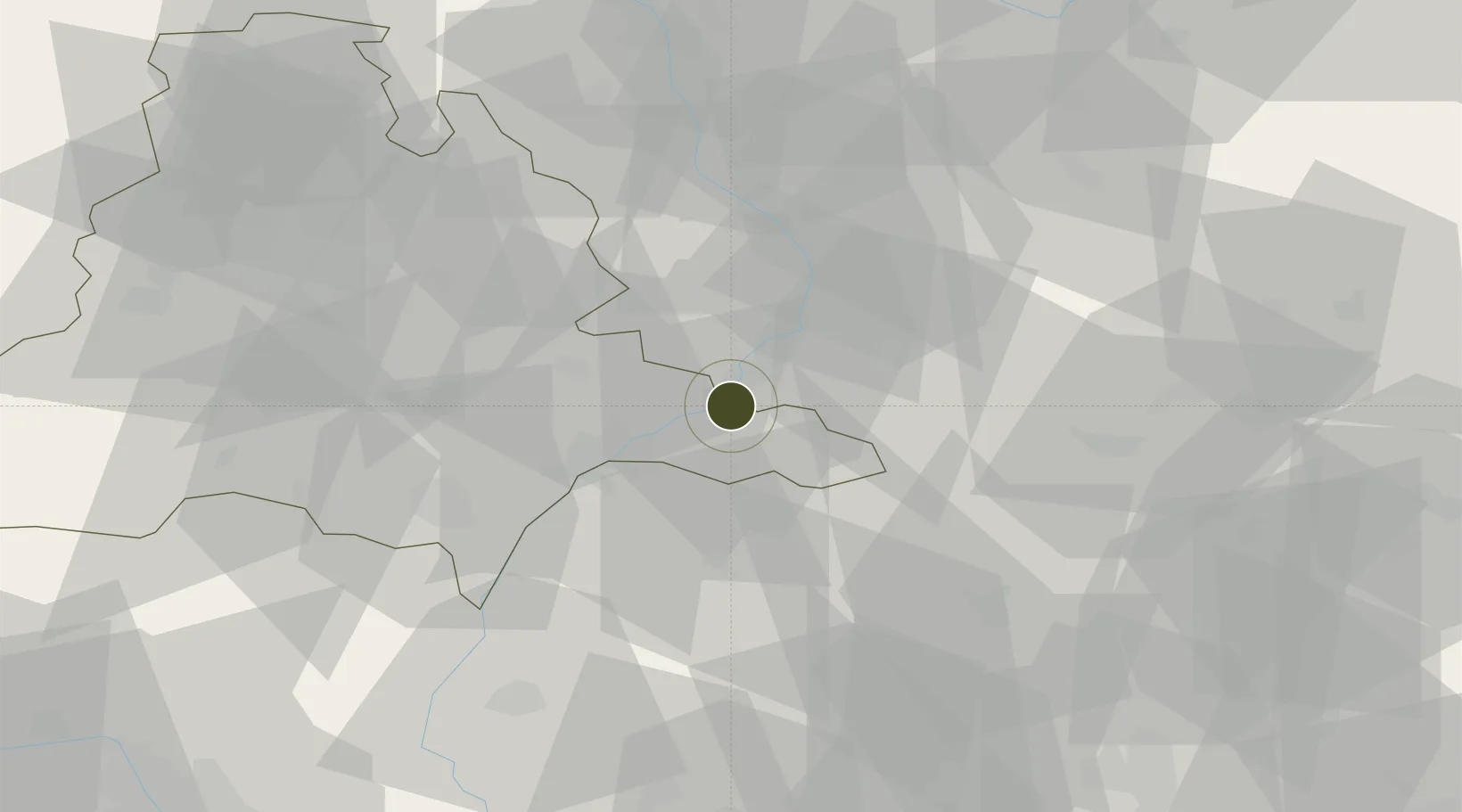
48.9549°, 17.3786°
31 ha
Zone area
455.4 km
Nearest port
9.4 km
Nearest airport

Gateway access

Nearest neighbours — logibook spatial index (haversine) over the source coordinates

Zone profile

Zone type
Export Processing Zone
Open Zone Map
Region
Jihomoravský
Open Zone Map
Status
Active
Open Zone Map
Management
Public
Open Zone Map
Operator
Regional Development Agency of South Moravia, The Town Council of Veselí nad Moravou
Open Zone Map
Legal framework
04/2015, Amendment to Zoning Plan No. 2 - 04/2017, Act No 72/2000 Coll., on Investment Incentives
Open Zone Map

Location

Location of ozm-1742
Natural Earth 10m (public domain) · Jihomoravský · ozm-1742 · 48.95, 17.38GoogleOSMYandex

Nearby Logistics Neighbours

Ports
  1. 1Monfalcone455 km
  2. 2Trieste458 km
  3. 3Bakar460 km
  4. 4Rijeka Luka460 km
  5. 5Muggia462 km
Nearest neighbours — logibook spatial index (haversine) over the source coordinates
Airports
  1. 1Kunovice Airport9 km
  2. 2Piešťany Airport49 km
  3. 3Přerov Air Base52 km
  4. 4Brno-Tuřany Airport55 km
  5. 5Malacky/Kuchyňa Air Base64 km
Nearest neighbours — logibook spatial index (haversine) over the source coordinates
Cities
  1. 1Uhersky Ostroh3 km
  2. 2Bzenec7 km
  3. 3Ostrozská Nová Ves8 km
  4. 4Nedakonice9 km
  5. 5Hluk11 km
Nearest neighbours — logibook spatial index (haversine) over the source coordinates
Trade Zones
  1. 1Holešov Industrial Zone43 km
  2. 2Černovická Terasa Industrial Zone57 km
  3. 3Mošnov Development Area97 km
  4. 4Bruntál Industrial Zone117 km
  5. 5Krnov - Červený Dvůr Municipal Industrial Zone127 km
Nearest neighbours — logibook spatial index (haversine) over the source coordinates
DatabookThe Record of Consolidated Knowledge
Czechia beyond logistics?
Browse databook

All Sources

Trade ZonesOpen Zone Map
CC BY
Portsthe NGA World Port Index
Public domain (US gov)
AirportsOurAirports
Public domain
LocationsUN/LOCODE
UN/LOCODE — free
← Czechia trade zones