Transport Functions
Multimodal
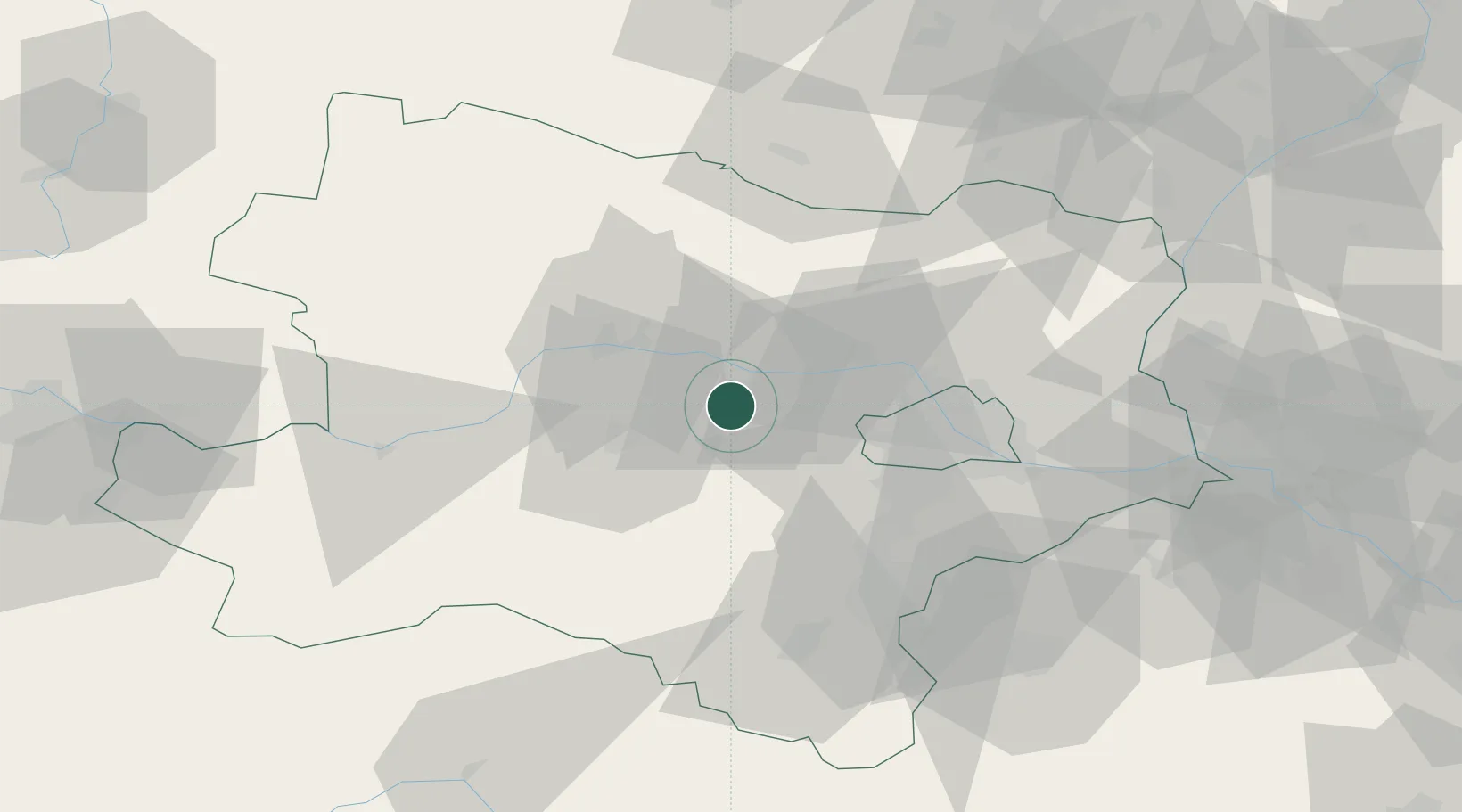
Hub Profile
Place type
District seat
Region
Lower Austria
Population
637
Time zone
Europe/Vienna
Elevation
191 m
Location
Nearby Logistics Neighbours
Cities
- 1Erpersdorf6 km
- 2Zwentendorf an der Donau6 km
- 3Langenrohr8 km
- 4Altenwörth12 km
- 5Traismauer14 km
Ports
- 1Monfalcone330 km
- 2Trieste335 km
- 3Muggia340 km
- 4Koper346 km
- 5Rijeka Luka347 km
Airports
Trade Zones
DatabookThe Record of Consolidated Knowledge
Austria beyond logistics?