Large airport · Austria
Vienna International AirportLOWW
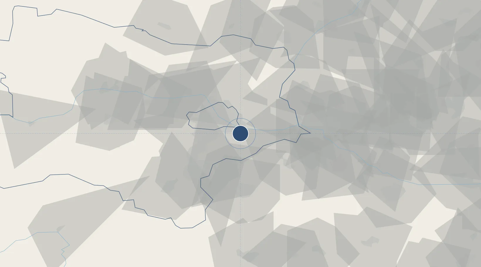
48.1103°, 16.5697°
11,811 ft
Longest runway
2
Runways
600 ft
Elevation
Runway & Layout

Radio Frequencies
ATIS
121.73 MHz
ATIS DEP
ATIS
122.955 MHz
ATIS ARR
TWR
119.4 MHz
WIEN TWR
GND
121.6 MHz
WIEN GND
CLD
122.125 MHz
WIEN CLNC DEL
APP
134.675 MHz
WIEN RADAR
DIR
119.8 MHz
DIRECTOR
INFO
118.52 MHz
RMP
131.625 MHz
VIENNA ICE
Navaids
BRK NDB Bruck 408 kHz
FMD VOR-DME Fischamend 110.40 MHz
SNU VOR-DME Sollenau 115.50 MHz
STE NDB Steinhof 293 kHz
WGM VOR-DME Wagram 112.20 MHz
WO NDB Schwechat 303 kHz
Runways · 2
| Runway | Dimensions | Surface | True heading | Lit |
|---|---|---|---|---|
| 16/34 | 11,811 × 148ft | Asphalt | 164° | ✓ |
| 11/29 | 11,483 × 148ft | Asphalt | 116° | ✓ |
Airport Specifications
IATA code
VIE
ICAO code
LOWW
Airport class
Large airport
Scheduled service
Yes
Runway surface
Asphalt
Served city
Vienna
Location
Nearby Logistics Neighbours
Airports
- 1Wiener Neustadt East Airport38 km
- 2Wiener Neustadt West Airport40 km
- 3M. R. Štefánik Airport48 km
- 4Malacky/Kuchyňa Air Base52 km
- 5Győr-Pér Airport107 km
Cities
- 1Schwechat8 km
- 2Himberg11 km
- 3Maria Lanzendorf11 km
- 4Freudenau13 km
- 5Wein14 km
Ports
- 1Monfalcone346 km
- 2Trieste348 km
- 3Bakar349 km
- 4Rijeka Luka349 km
- 5Muggia351 km
Trade Zones
DatabookThe Record of Consolidated Knowledge
Austria beyond logistics?