Export Processing Zone · Czechia

Holešov Industrial Zone Active
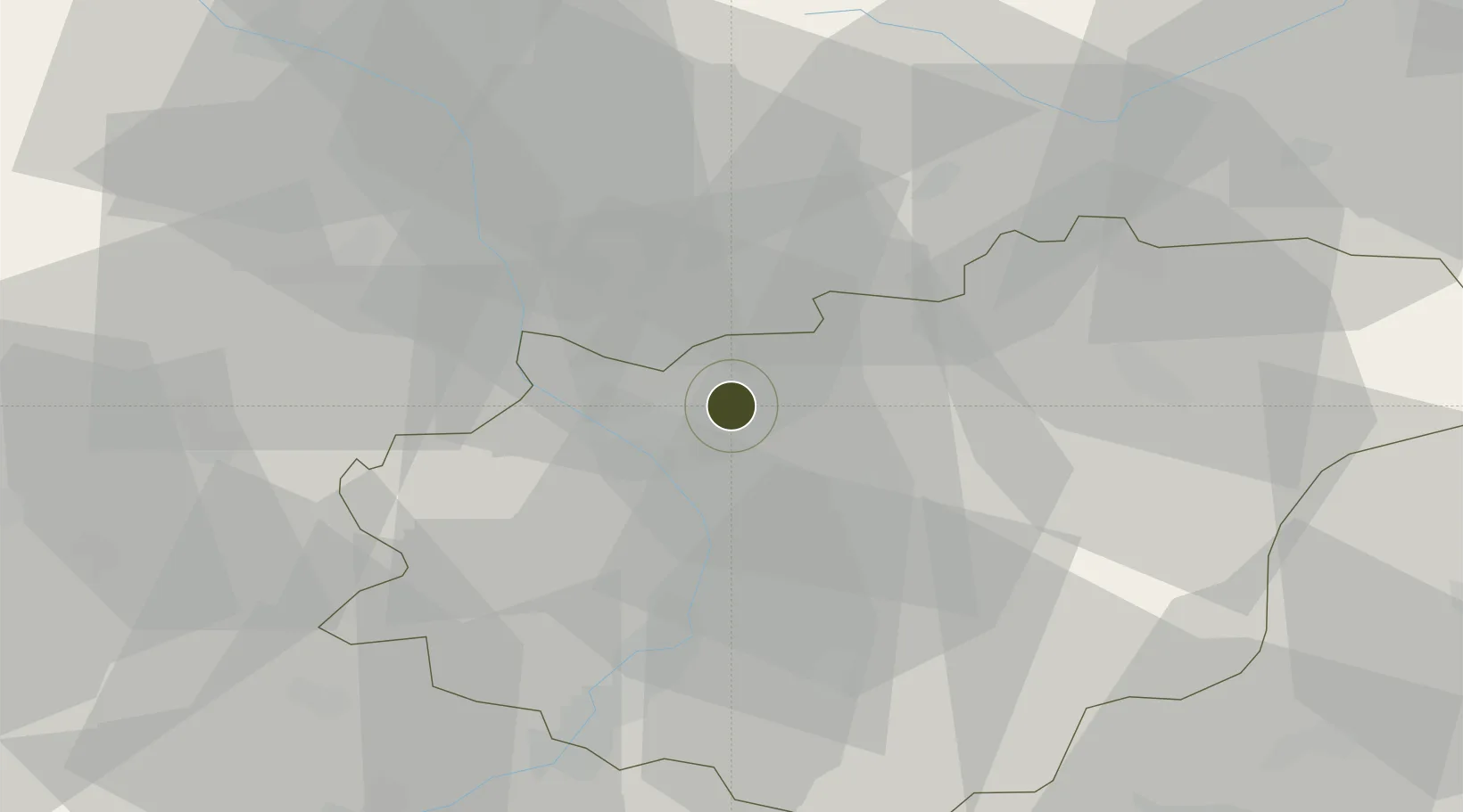
49.3275°, 17.5414°
360 ha
Zone area
494.8 km
Nearest port
14.7 km
Nearest airport

Gateway access

Nearest neighbours — logibook spatial index (haversine) over the source coordinates

Zone profile

Zone type
Export Processing Zone
Open Zone Map
Region
Zlínský
Open Zone Map
Status
Active
Open Zone Map
Management
Public-Private Partnership
Open Zone Map
Operator
Industry Servis ZK, a.s., Zlinsky Region Authority
Open Zone Map
Legal framework
Act No 72/2000 Coll., on Investment Incentives
Open Zone Map

Location

Location of ozm-1746
Natural Earth 10m (public domain) · Zlínský · ozm-1746 · 49.33, 17.54GoogleOSMYandex

Nearby Logistics Neighbours

Ports
  1. 1Monfalcone495 km
  2. 2Trieste498 km
  3. 3Szczecin500 km
  4. 4Bakar502 km
  5. 5Rijeka Luka502 km
Nearest neighbours — logibook spatial index (haversine) over the source coordinates
Airports
  1. 1Přerov Air Base15 km
  2. 2Kunovice Airport34 km
  3. 3Leoš Janáček Airport Ostrava58 km
  4. 4Brno-Tuřany Airport65 km
  5. 5Žilina-Dolný Hričov Airport79 km
Nearest neighbours — logibook spatial index (haversine) over the source coordinates
Cities
  1. 1Hulín6 km
  2. 2Myslocovice9 km
  3. 3Tlumacov9 km
  4. 4Kvasice10 km
  5. 5Kromeríz11 km
Nearest neighbours — logibook spatial index (haversine) over the source coordinates
Trade Zones
  1. 1Veselí nad Moravou Industrial Zone43 km
  2. 2Mošnov Development Area58 km
  3. 3Černovická Terasa Industrial Zone65 km
  4. 4Bruntál Industrial Zone76 km
  5. 5Krnov - Červený Dvůr Municipal Industrial Zone84 km
Nearest neighbours — logibook spatial index (haversine) over the source coordinates
DatabookThe Record of Consolidated Knowledge
Czechia beyond logistics?
Browse databook

All Sources

Trade ZonesOpen Zone Map
CC BY
Portsthe NGA World Port Index
Public domain (US gov)
AirportsOurAirports
Public domain
LocationsUN/LOCODE
UN/LOCODE — free
← Czechia trade zones