Transport Functions
Port
Hub Profile
Place type
District seat
Region
Lower Austria
Population
1,488
Time zone
Europe/Vienna
Elevation
171 m
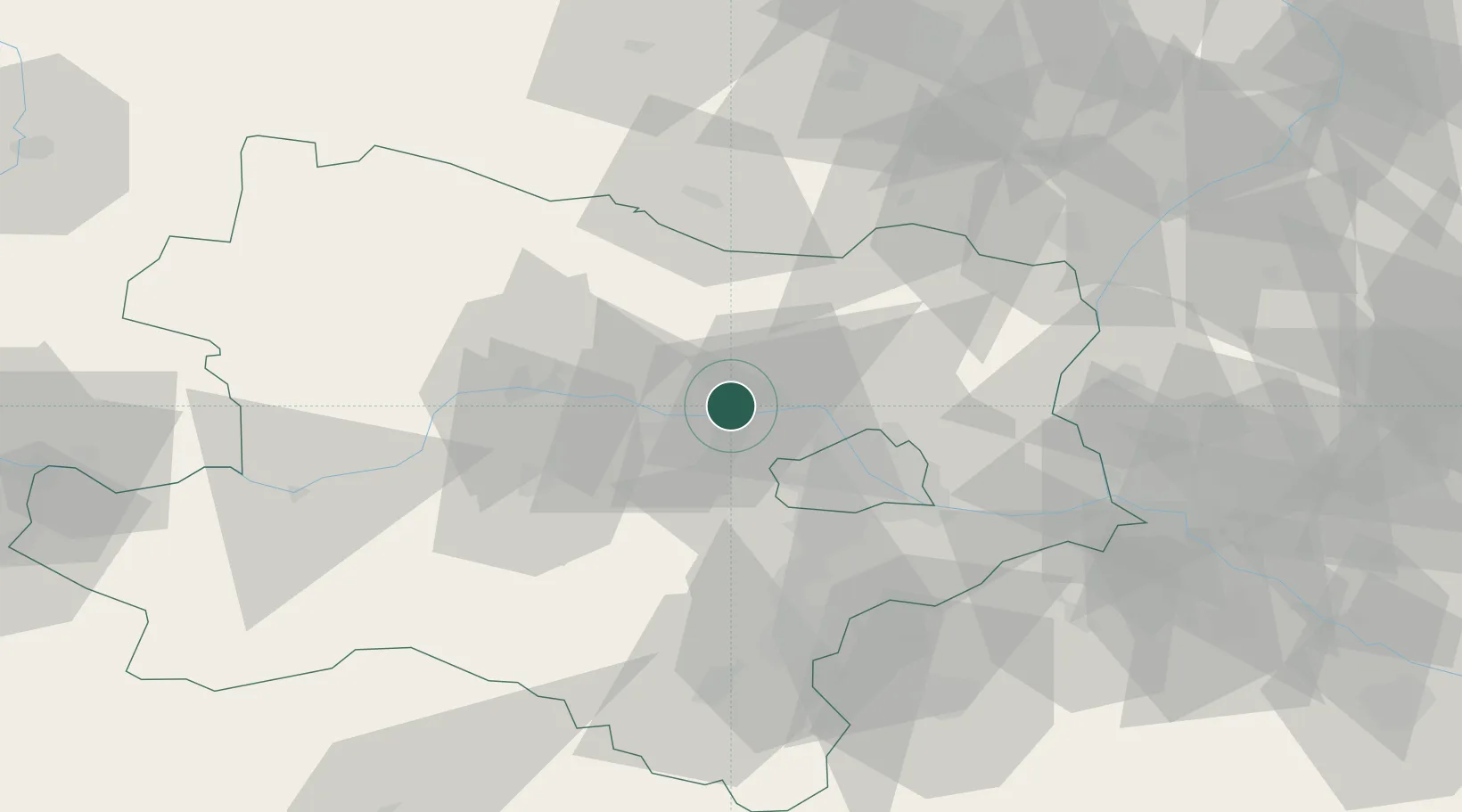
Location
Nearby Logistics Neighbours
Cities
- 1Niederrussbach9 km
- 2Greifenstein11 km
- 3Langenrohr12 km
- 4Königsbrunn am Wagram13 km
- 5Ollern13 km
Ports
- 1Monfalcone348 km
- 2Trieste352 km
- 3Muggia357 km
- 4Rijeka Luka362 km
- 5Koper363 km
Airports
Trade Zones
DatabookThe Record of Consolidated Knowledge
Austria beyond logistics?