Transport Functions
Road
Multimodal
Hub Profile
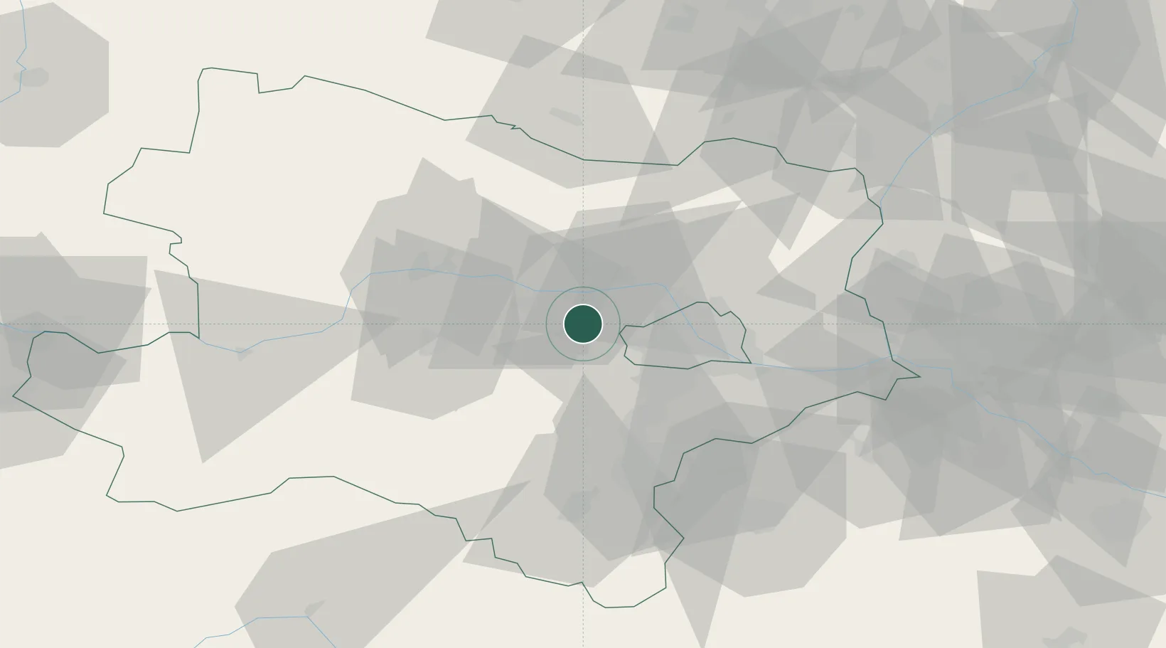
Place type
Populated place
Region
Lower Austria
Population
484
Time zone
Europe/Vienna
Elevation
235 m
Location
Nearby Logistics Neighbours
Cities
- 1Langenrohr7 km
- 2Hausleiten13 km
- 3Greifenstein13 km
- 4Atzenbrugg14 km
- 5Erpersdorf16 km
Ports
- 1Monfalcone336 km
- 2Trieste341 km
- 3Muggia345 km
- 4Rijeka Luka350 km
- 5Bakar350 km
Airports
Trade Zones
DatabookThe Record of Consolidated Knowledge
Austria beyond logistics?