Transport Functions
Port
Rail
Road
Hub Profile
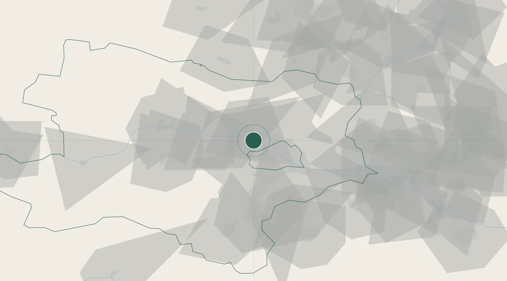
Place type
Urban district
Region
Lower Austria
Population
264
Time zone
Europe/Vienna
Elevation
170 m
Location
Nearby Logistics Neighbours
Cities
- 1Langenzersdorf9 km
- 2Hausleiten11 km
- 3Stetten12 km
- 4Ollern13 km
- 5Grossebersdorf18 km
Ports
- 1Monfalcone349 km
- 2Trieste353 km
- 3Muggia357 km
- 4Rijeka Luka361 km
- 5Bakar361 km
Airports
Trade Zones
DatabookThe Record of Consolidated Knowledge
Austria beyond logistics?