Transport Functions
Rail
Road
Hub Profile
Place type
District seat
Region
Lower Austria
Population
1,320
Time zone
Europe/Vienna
Elevation
179 m
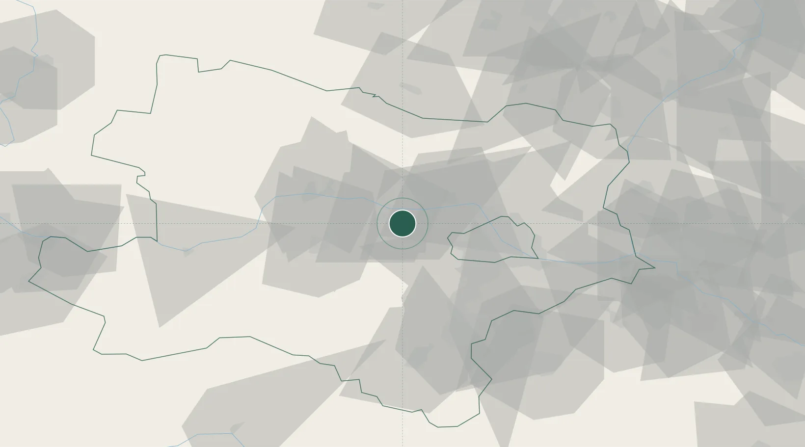
Location
Nearby Logistics Neighbours
Cities
- 1Ollern7 km
- 2Atzenbrugg8 km
- 3Erpersdorf8 km
- 4Zwentendorf an der Donau8 km
- 5Hausleiten12 km
Ports
- 1Monfalcone336 km
- 2Trieste341 km
- 3Muggia345 km
- 4Rijeka Luka351 km
- 5Koper351 km
Airports
Trade Zones
DatabookThe Record of Consolidated Knowledge
Austria beyond logistics?