UN/LOCODE hub · Austria
ATKAW

Königsbrunn am Wagram

48.4167°, 15.9333°
3
Transport functions

Transport Functions

Rail
Road
Multimodal
UN/LOCODE

Hub Profile

Region
3
GeoNames

Location

Location of ATKAW
Natural Earth 10m (public domain) · 3 · ATKAW · 48.42, 15.93GoogleOSMYandex

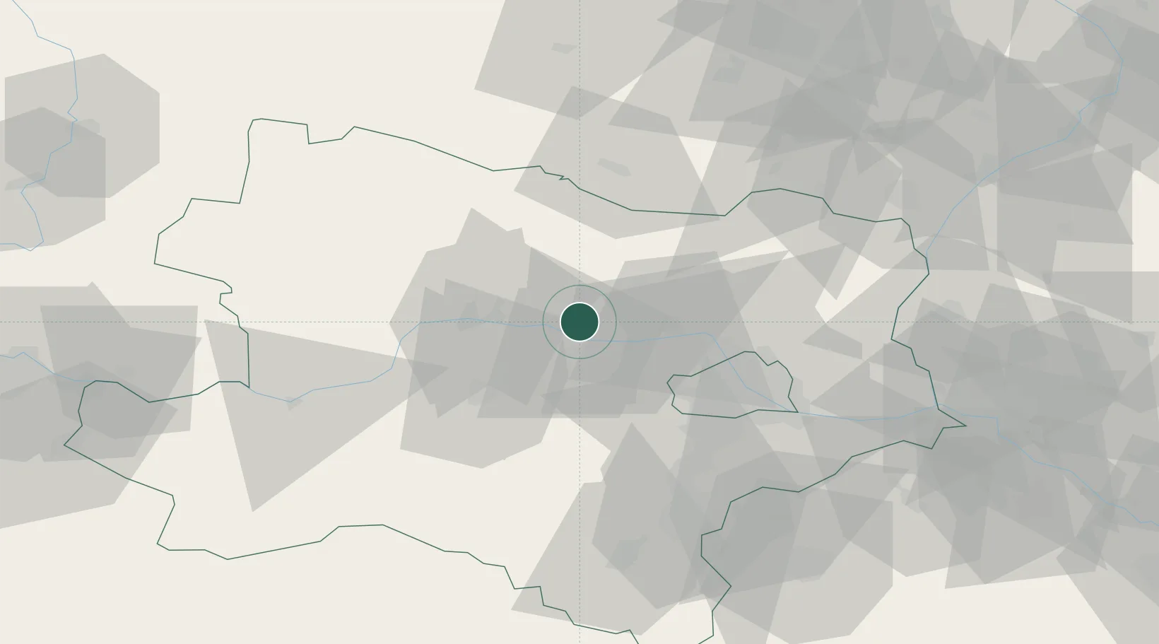
Nearby Logistics Neighbours

Cities
  1. 1Kirchberg am Wagram3 km
  2. 2Engelmannsbrunn5 km
  3. 3Altenwörth7 km
  4. 4Niederrussbach8 km
  5. 5Neudegg8 km
Nearest neighbours — logibook spatial index (haversine) over the source coordinates
Ports
  1. 1Monfalcone344 km
  2. 2Trieste349 km
  3. 3Muggia354 km
  4. 4Koper360 km
  5. 5Rijeka Luka361 km
Nearest neighbours — logibook spatial index (haversine) over the source coordinates
Airports
  1. 1Vienna International Airport58 km
  2. 2Wiener Neustadt West Airport68 km
  3. 3Wiener Neustadt East Airport68 km
  4. 4Náměšť Air Base85 km
  5. 5Malacky/Kuchyňa Air Base88 km
Nearest neighbours — logibook spatial index (haversine) over the source coordinates
Trade Zones
  1. 1Černovická Terasa Industrial Zone100 km
  2. 2Veselí nad Moravou Industrial Zone122 km
  3. 3Světlá nad Sázavou Municipal Industrial Zone144 km
  4. 4Holešov Industrial Zone155 km
  5. 5Industrial Zone Kutna Hora176 km
Nearest neighbours — logibook spatial index (haversine) over the source coordinates
DatabookThe Record of Consolidated Knowledge
Austria beyond logistics?
Browse databook

All Sources

LocationsUN/LOCODE
UN/LOCODE — free
Portsthe NGA World Port Index
Public domain (US gov)
AirportsOurAirports
Public domain
Trade Zonesthe World Bank SEZ database
CC BY 4.0
Trade ZonesOpen Zone Map
CC BY
← Austria locations