Transport Functions
Road
Multimodal
Hub Profile
Place type
Populated place
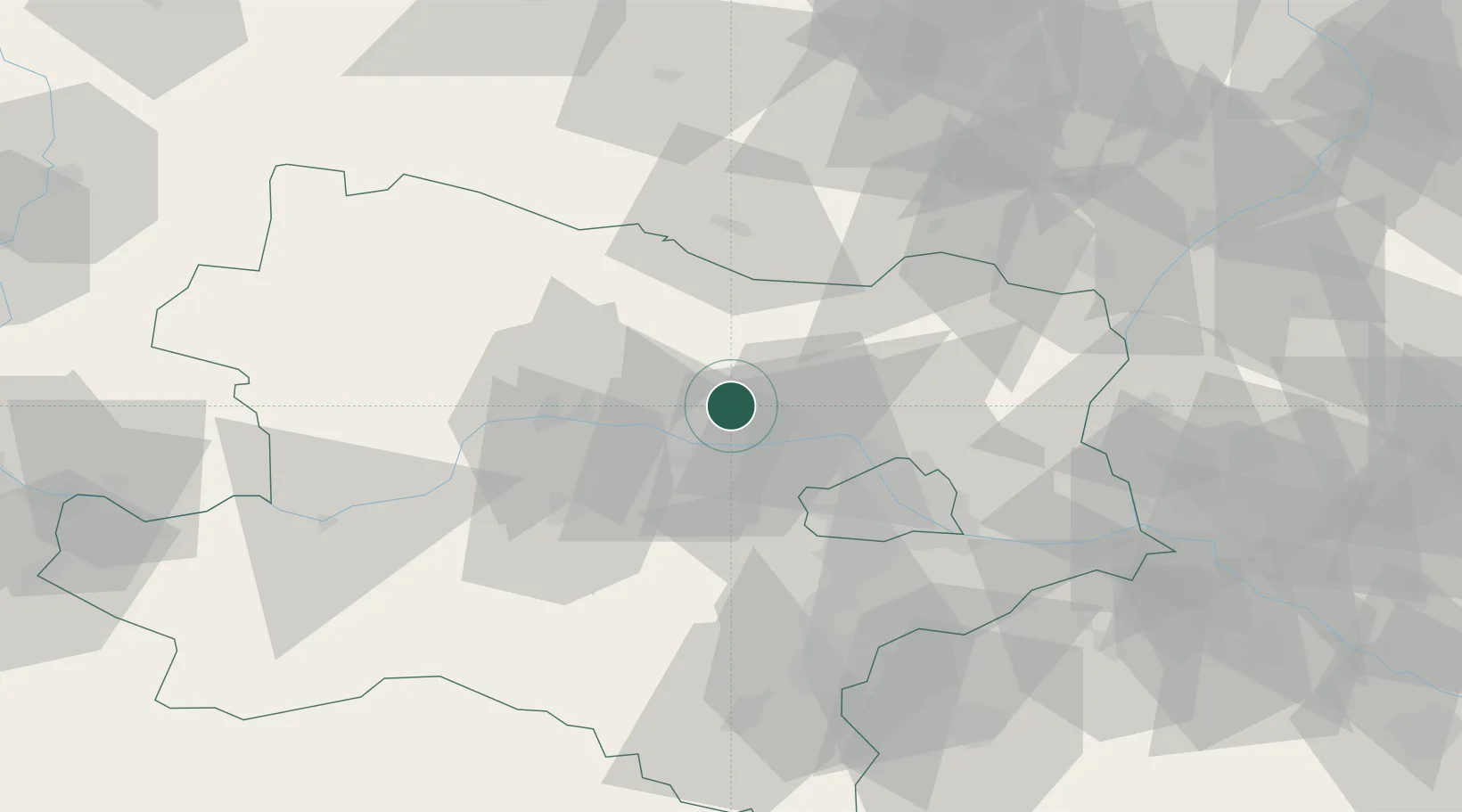
Region
Lower Austria
Population
840
Time zone
Europe/Vienna
Elevation
236 m
Location
Nearby Logistics Neighbours
Cities
- 1Königsbrunn am Wagram8 km
- 2Hausleiten9 km
- 3Kirchberg am Wagram10 km
- 4Engelmannsbrunn11 km
- 5Neudegg12 km
Ports
- 1Monfalcone351 km
- 2Trieste356 km
- 3Muggia360 km
- 4Koper367 km
- 5Rijeka Luka367 km
Airports
Trade Zones
DatabookThe Record of Consolidated Knowledge
Austria beyond logistics?