Transport Functions
Road
Multimodal
Hub Profile
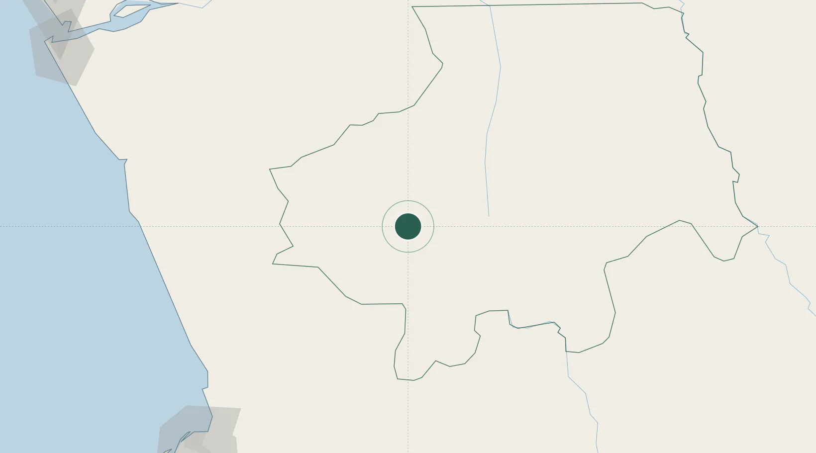
Place type
Populated place
Region
Kwanza Sul
Population
29,000
Time zone
Africa/Luanda
Elevation
1,030 m
Location
Nearby Logistics Neighbours
Cities
- 1Capulo186 km
- 2N'Zeto (Ambrizete)208 km
- 3Nóqui222 km
- 4Matadi222 km
- 5Luanda229 km
Ports
- 1Porto Do Ambriz187 km
- 2Matadi223 km
- 3Luanda228 km
- 4Boma251 km
- 5Palanca Terminal262 km
Airports
Trade Zones
DatabookThe Record of Consolidated Knowledge
Angola beyond logistics?