UN/LOCODE hub · Angola
AOLAD
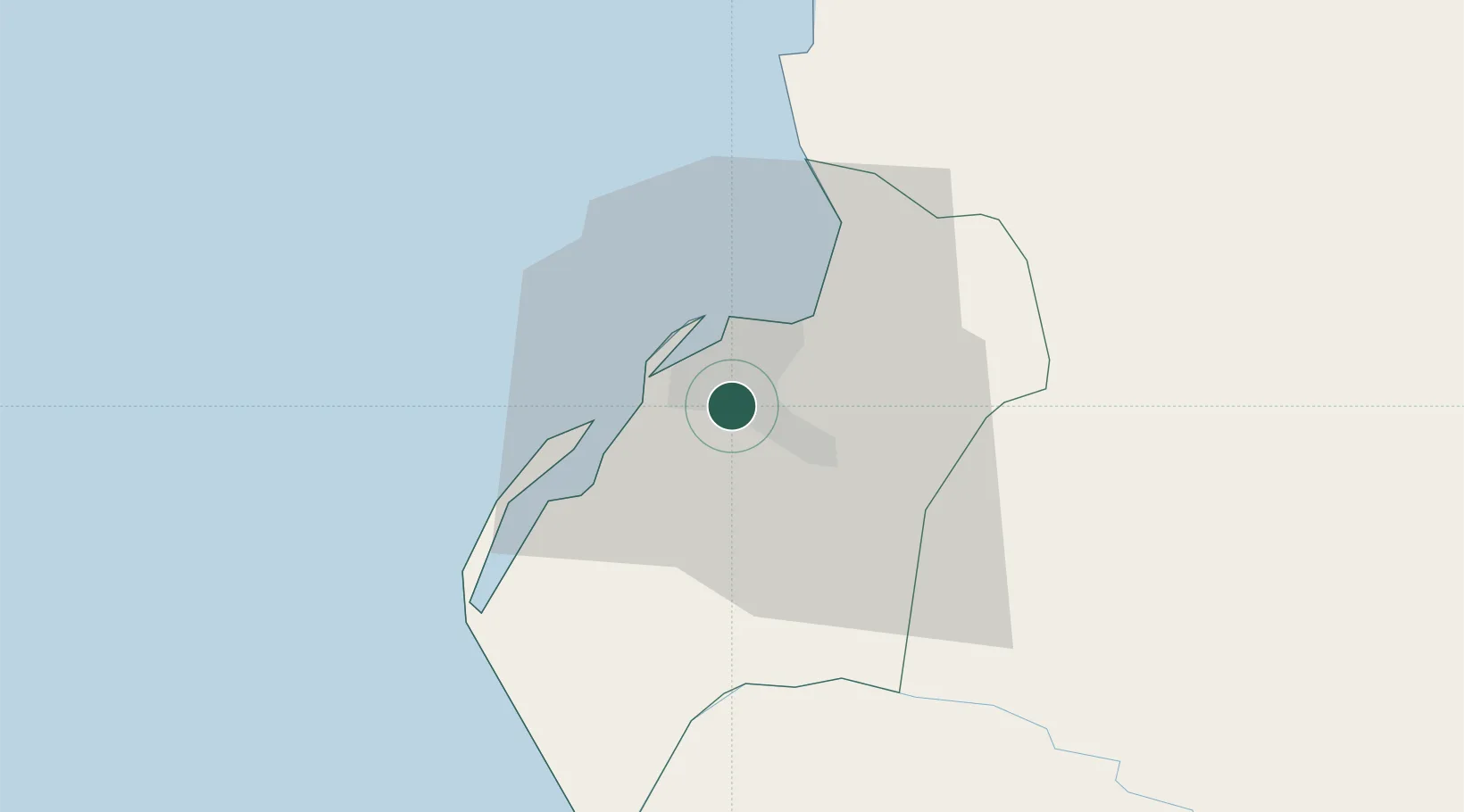
Luanda
-8.8551°, 13.2899°
2,776,168
Population
3
Transport functions
2
Container terminals
Transport Functions
Port
Airport
Postal
Hub Profile
Place type
National capital
Region
Luanda
Population
2,776,168
Time zone
Africa/Luanda
Elevation
73 m
Logistics facilities
16
Container terminals
2
Location
Nearby Logistics Neighbours
Cities
- 1Capulo98 km
- 2Greater Plutonio172 km
- 3N'Zeto (Ambrizete)183 km
- 4Gimboa192 km
- 5Dalia211 km
Ports
- 1Porto Do Ambriz116 km
- 2Greater Plutonio Terminal173 km
- 3Dalia Terminal212 km
- 4Porto Amboim215 km
- 5Girassol Terminal222 km
Airports
Trade Zones
DatabookThe Record of Consolidated Knowledge
Angola beyond logistics?