Transport Functions
Port
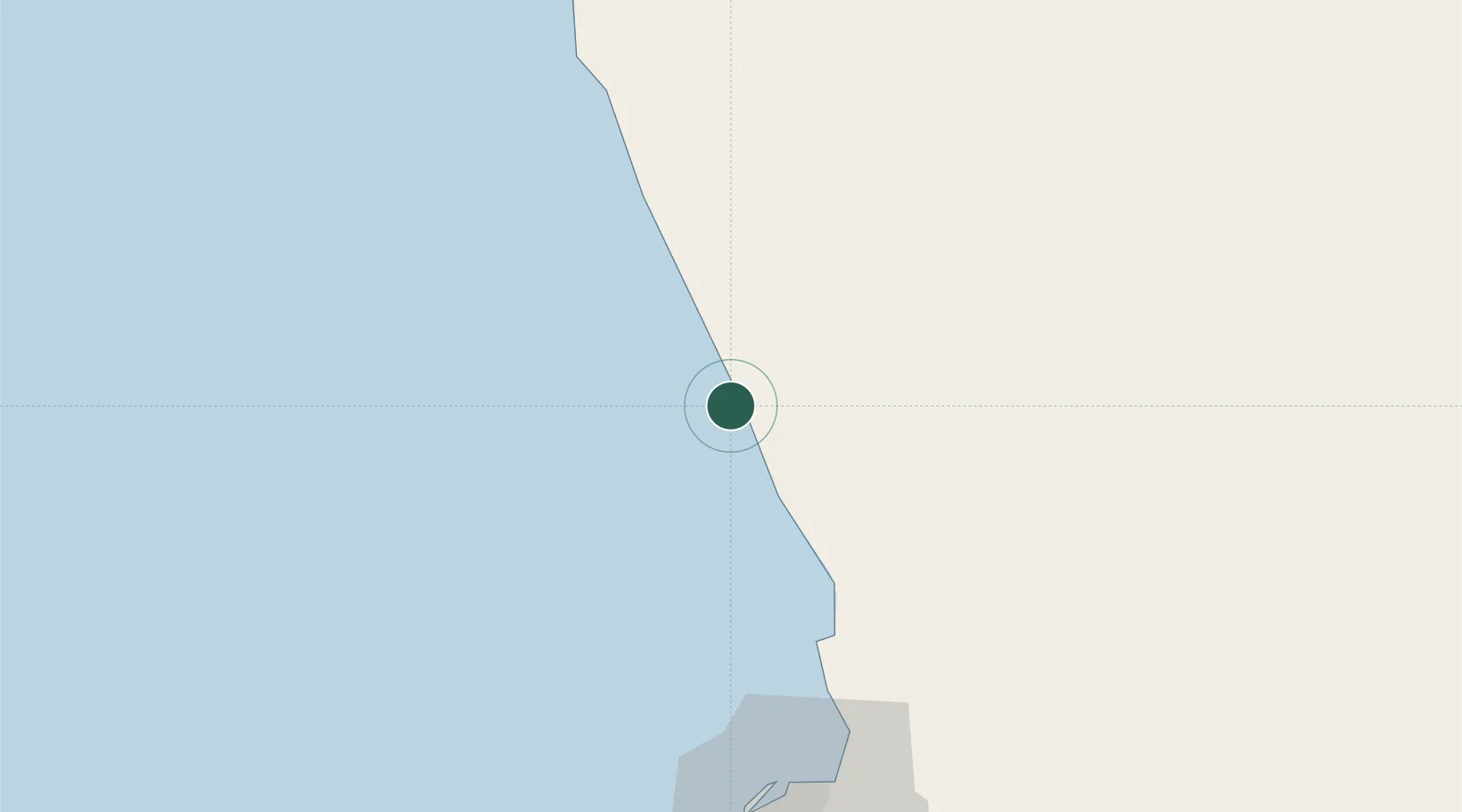
Hub Profile
Place type
Populated place
Region
Bengo
Time zone
Africa/Luanda
Elevation
38 m
Location
Nearby Logistics Neighbours
Cities
- 1N'Zeto (Ambrizete)87 km
- 2Luanda98 km
- 3Greater Plutonio117 km
- 4Gimboa121 km
- 5Lombo Terminal143 km
Ports
- 1Porto Do Ambriz18 km
- 2Luanda91 km
- 3Greater Plutonio Terminal119 km
- 4Palanca Terminal143 km
- 5Dalia Terminal158 km
Airports
- 1Quatro de Fevereiro International Airport98 km
- 2Dr. Antonio Agostinho Neto International Airport124 km
- 3Uige Airport209 km
- 4Soyo Airport223 km
- 5Mbanza Congo Airport225 km
Trade Zones
DatabookThe Record of Consolidated Knowledge
Angola beyond logistics?