Medium airport · Angola
Negage AirportFNNG
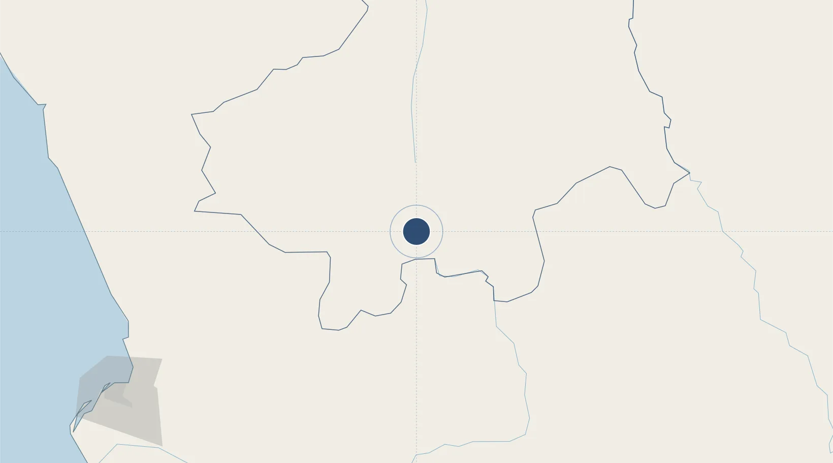
-7.7545°, 15.2877°
7,874 ft
Longest runway
1
Runways
4,105 ft
Elevation
Runway & Layout

Radio Frequencies
AFIS
118.7 MHz
Navaids
NG NDB Negage 220 kHz
Runways · 1
| Runway | Dimensions | Surface | True heading | Lit |
|---|---|---|---|---|
| 16/34 | 7,874 × 98ft | Asphalt | 155° | — |
Airport Specifications
IATA code
GXG
ICAO code
FNNG
Airport class
Medium airport
Scheduled service
Yes
Runway surface
Asphalt
Served city
Negage
Location
Nearby Logistics Neighbours
Airports
- 1Uige Airport33 km
- 2Mbanza Congo Airport201 km
- 3Malanje Airport227 km
- 4Dr. Antonio Agostinho Neto International Airport244 km
- 5Quatro de Fevereiro International Airport257 km
Cities
- 1Santa Clara75 km
- 2Capulo235 km
- 3Luanda252 km
- 4N'Zeto (Ambrizete)274 km
- 5Nóqui295 km
Ports
- 1Porto Do Ambriz241 km
- 2Luanda253 km
- 3Matadi296 km
- 4Boma325 km
- 5Palanca Terminal331 km
Trade Zones
DatabookThe Record of Consolidated Knowledge
Angola beyond logistics?