Medium airport · Angola
Uige AirportFNUG
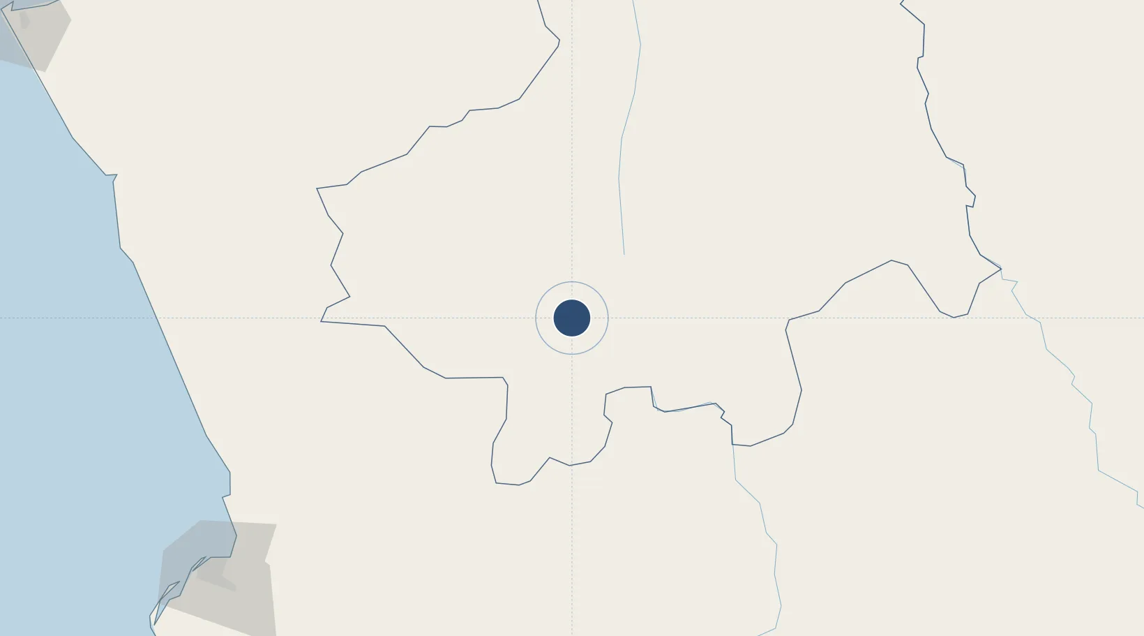
-7.6031°, 15.0278°
6,562 ft
Longest runway
1
Runways
2,720 ft
Elevation
Runway & Layout

Radio Frequencies
RDO
118.7 MHz
Navaids
UG NDB Uige 300 kHz
Runways · 1
| Runway | Dimensions | Surface | True heading | Lit |
|---|---|---|---|---|
| 01/19 | 6,562 × 55ft | Asphalt | 006° | ✓ |
Airport Specifications
IATA code
UGO
ICAO code
FNUG
Airport class
Medium airport
Scheduled service
No
Runway surface
Asphalt
Served city
Uige
Location
Nearby Logistics Neighbours
Airports
Cities
- 1Santa Clara42 km
- 2Capulo209 km
- 3Luanda237 km
- 4N'Zeto (Ambrizete)243 km
- 5Nóqui263 km
Ports
- 1Porto Do Ambriz214 km
- 2Luanda237 km
- 3Matadi264 km
- 4Boma293 km
- 5Palanca Terminal299 km
Trade Zones
DatabookThe Record of Consolidated Knowledge
Angola beyond logistics?