UN/LOCODE hub · United Arab Emirates
AESID

Sadiyat Island

24.5333°, 54.4000°
1
Transport functions

Transport Functions

Port
UN/LOCODE

Location

Location of AESID
Natural Earth 10m (public domain) · Abu Dhabi · AESID · 24.53, 54.40GoogleOSMYandex

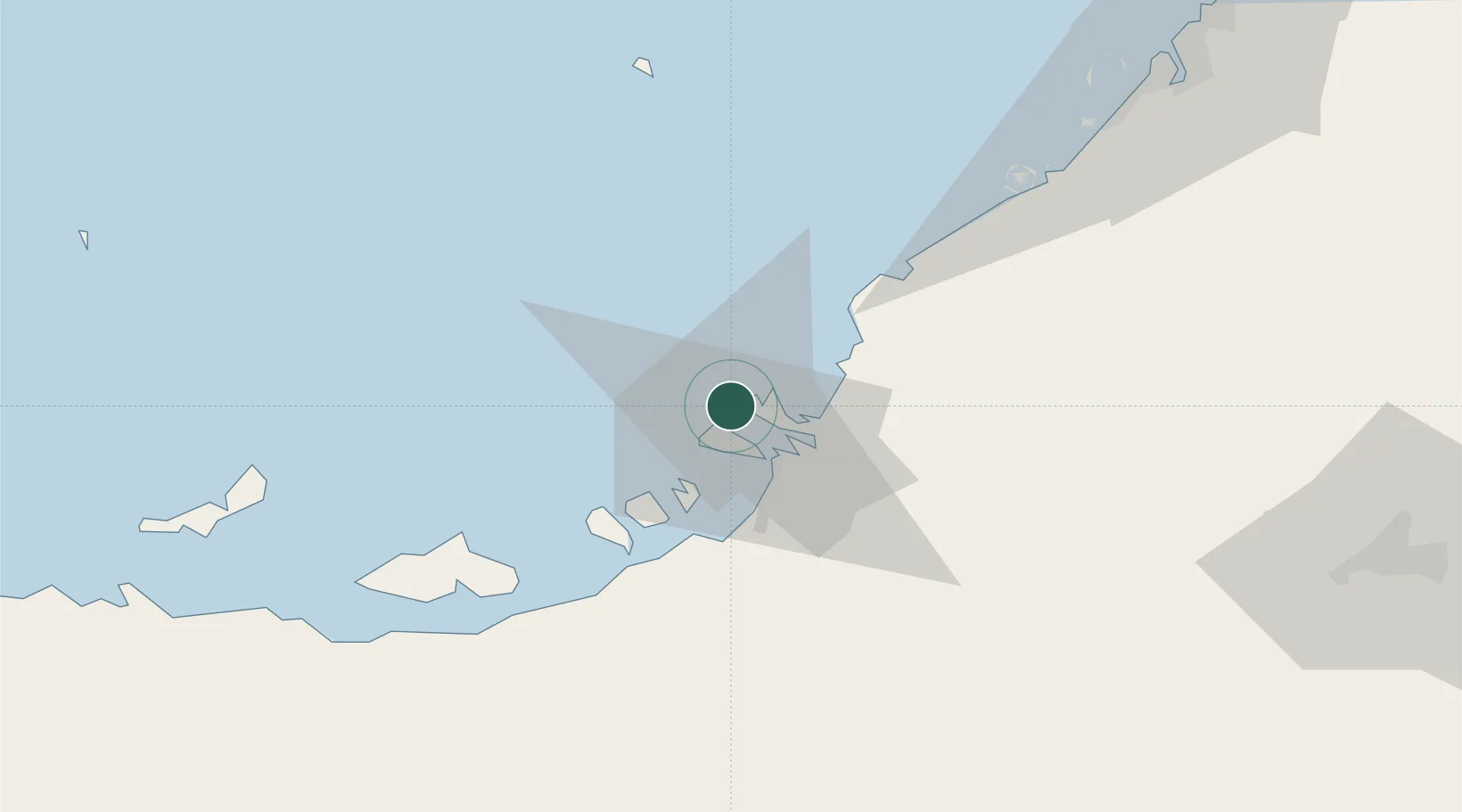
Nearby Logistics Neighbours

Cities
  1. 1Mina Zayed/Abu Dhabi4 km
  2. 2Umm Al Nar15 km
  3. 3Musaffah19 km
  4. 4Esnnad25 km
  5. 5Abu Dhabi36 km
Nearest neighbours — logibook spatial index (haversine) over the source coordinates
Ports
  1. 1Abu Zaby8 km
  2. 2Umm An Nar13 km
  3. 3Mina Jabal Ali85 km
  4. 4Mubarraz Oil Terminal90 km
  5. 5Fateh Oil Terminal117 km
Nearest neighbours — logibook spatial index (haversine) over the source coordinates
Airports
  1. 1Al Bateen Executive Airport13 km
  2. 2Sas Al Nakheel Air Base16 km
  3. 3Zayed International Airport27 km
  4. 4Al Dhafra Air Base35 km
  5. 5Al Maktoum International Airport87 km
Nearest neighbours — logibook spatial index (haversine) over the source coordinates
Trade Zones
  1. 1Abu Dhabi Global Markets (ADGM)4 km
  2. 2TwoFour54 Free Zone13 km
  3. 3Abu Dhabi Construction City Building Material City18 km
  4. 4Masdar City Free Zone25 km
  5. 5Abu Dhabi Airport Free Zone (ADAFZ)27 km
Nearest neighbours — logibook spatial index (haversine) over the source coordinates
DatabookThe Record of Consolidated Knowledge
United Arab Emirates beyond logistics?
Browse databook

All Sources

LocationsUN/LOCODE
UN/LOCODE — free
Portsthe NGA World Port Index
Public domain (US gov)
AirportsOurAirports
Public domain
Trade Zonesthe World Bank SEZ database
CC BY 4.0
Trade ZonesOpen Zone Map
CC BY
← United Arab Emirates locations