Channel & Berth Profile
Pilotage, Tugs & Services
Pilotage compulsoryYES
Pilotage availableYES
Salvage tugsNO
Potable waterNO
Diesel bunkersNO
MedicalNO
Garbage disposalNO
Facilities & Capabilities
Container—
Ro-Ro—
Liquid bulk—
Dry bulk—
Oil terminal—
Break bulk—
Dry dock—
Repairs—
BunkeringNO
Rail link—
Dangerous cargo—
ISPS security—
Harbour Specifications
Harbour size
Very Small
Harbour type
Open Roadstead
Shelter
Poor
Water body
Persian Gulf; Indian Ocean
Tidal range
1.8 m
Pilotage
Yes
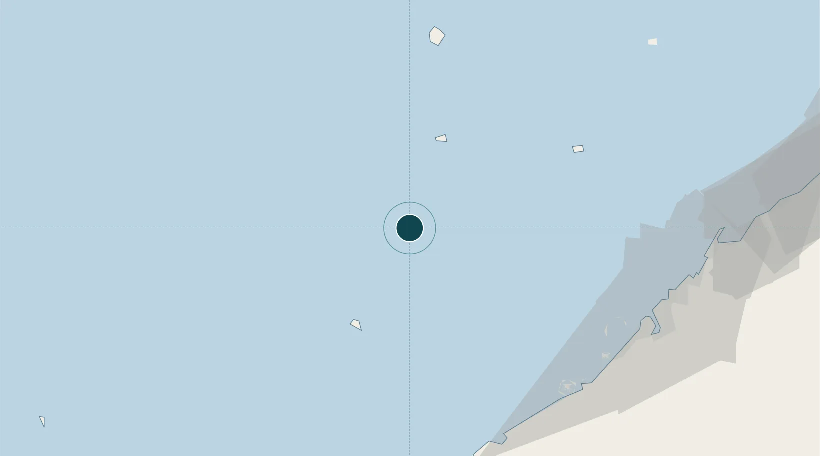
Location
Nearby Logistics Neighbours
Ports
- 1Jazireh-Ye Sirri38 km
- 2Mina Jabal Ali90 km
- 3Dubayy95 km
- 4Ash Shariqah100 km
- 5Ajman104 km
Cities
- 1Abu Musa68 km
- 2Mina Khalifa/Abu Dhabi89 km
- 3Hassyan90 km
- 4Jebel Ali Free Zone91 km
- 5Free Port92 km
Airports
- 1Siri Airport38 km
- 2Abu Musa Island Airport70 km
- 3Dubai International Airport103 km
- 4Al Maktoum International Airport107 km
- 5Bandar Lengeh International Airport113 km
Trade Zones
- 1Jebel Ali Free Zone92 km
- 2Dubai Media City92 km
- 3Dubai Maritime City92 km
- 4Dubai Knowledge Park92 km
- 5Dubai Internet City (DIC)92 km
DatabookThe Record of Consolidated Knowledge
United Arab Emirates beyond logistics?