Large airport · Indonesia

Soekarno-Hatta International AirportWIII
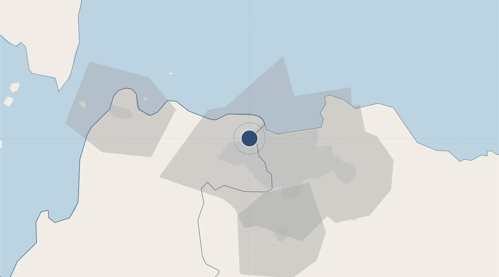
-6.1256°, 106.6560°
12,008 ft
Longest runway
3
Runways
34 ft
Elevation

Runway & Layout

Soekarno-Hatta International Airport runway & taxiway layout
Runway & taxiway layout — OpenStreetMap (ODbL) / OurAirports

Radio Frequencies

ATIS
126.85 MHz
TWR
118.75 MHz
GND
121.6 MHz
CLD
121.95 MHz
CLNC DEL
APP
119.75 MHz
JAKARTA APP
ARR
125.45 MHz
JAKARTA ARR
FSS
129.7 MHz
JAKARTA CENTRAL INFO
INFO
129.8 MHz
PABELOKAN INFO
OurAirports

Navaids

CKG VOR-DME Cengkareng 113.60 MHz
DKI VOR-DME Jakarta 114.60 MHz
OurAirports

Runways · 3

RunwayDimensions SurfaceTrue headingLit
07R/25L 12,008 × 197ft Concrete 068°
07L/25R 11,812 × 197ft Concrete 068°
06/24 9,843 × 197ft CONC
OurAirports

Airport Specifications

IATA code
CGK
OurAirports
ICAO code
WIII
OurAirports
Airport class
Large airport
OurAirports
Scheduled service
Yes
OurAirports
Runway surface
Concrete
OurAirports
Served city
Jakarta
OurAirports

Location

Location of WIII
Natural Earth 10m (public domain) · Banten · WIII · -6.13, 106.66GoogleOSMYandex

Nearby Logistics Neighbours

Airports
  1. 1Halim Perdanakusuma International Airport30 km
  2. 2Husein Sastranegara International Airport133 km
  3. 3Kertajati International Airport177 km
  4. 4Radin Inten II International Airport190 km
  5. 5Nusawiru Airport269 km
Nearest neighbours — logibook spatial index (haversine) over the source coordinates
Cities
  1. 1Kembangan11 km
  2. 2Palmerah16 km
  3. 3Pejagalan16 km
  4. 4Gambir18 km
  5. 5Jakarta Pusat21 km
Nearest neighbours — logibook spatial index (haversine) over the source coordinates
Ports
  1. 1Jakarta25 km
  2. 2Tanjung Sekong76 km
  3. 3Merak Mas Terminal76 km
  4. 4Banten77 km
  5. 5Anyer Lor82 km
Nearest neighbours — logibook spatial index (haversine) over the source coordinates
Trade Zones
  1. 1Millenium Industrial Estate23 km
  2. 2BSD City Industrial Estate24 km
  3. 3Jakarta Industrial Estate - Pulogadung30 km
  4. 4Kawasan Berikat Nusantara Industrial Estate30 km
  5. 5ModernCikande Industrial Estate36 km
Nearest neighbours — logibook spatial index (haversine) over the source coordinates
DatabookThe Record of Consolidated Knowledge
Indonesia beyond logistics?
Browse databook

All Sources

AirportsOurAirports
Public domain
Portsthe NGA World Port Index
Public domain (US gov)
LocationsUN/LOCODE
UN/LOCODE — free
Trade Zonesthe World Bank SEZ database
CC BY 4.0
Trade ZonesOpen Zone Map
CC BY
InfrastructureOpenStreetMap
ODbL 1.0
← Indonesia airports