Free Trade Zone · Indonesia

Batam-Bintan-Karimun Free Trade Zone Under Development
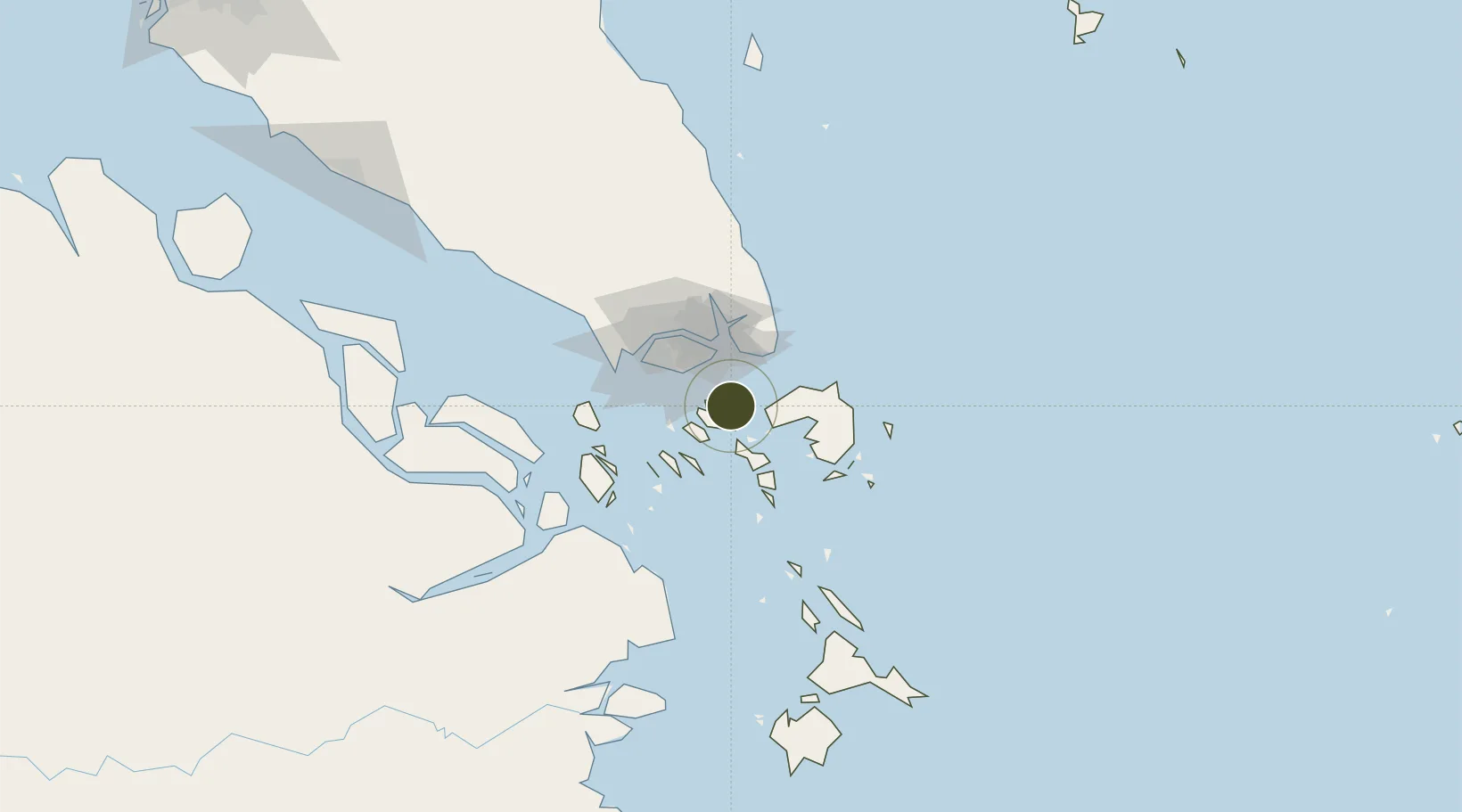
1.1085°, 104.0703°
71,500 ha
Zone area
16.9 km
Nearest port
5.6 km
Nearest airport

Gateway access

Nearest neighbours — logibook spatial index (haversine) over the source coordinates

Zone profile

Zone type
Free Trade Zone
Open Zone Map
Region
Kepulauan Riau
Open Zone Map
Status
Under Development
Open Zone Map
Management
Public-Private Partnership
Open Zone Map
Operator
Batam Development Authority
Open Zone Map
Legal framework
Law No. 34 on Free Trade Zones & Free Ports, Government Decree (PP) No. 62/ 2019
Open Zone Map

Location

Location of ozm-2442
Natural Earth 10m (public domain) · Kepulauan Riau · ozm-2442 · 1.11, 104.07GoogleOSMYandex

Nearby Logistics Neighbours

Ports
  1. 1Tanjunguban17 km
  2. 2Sekupang17 km
  3. 3Pulau Sambu20 km
  4. 4Keppel - (East Singapore)31 km
  5. 5Pulau Sebarok32 km
Nearest neighbours — logibook spatial index (haversine) over the source coordinates
Airports
  1. 1Hang Nadim International Airport6 km
  2. 2Changi Air Base (East)27 km
  3. 3Singapore Changi Airport28 km
  4. 4Paya Lebar Air Base33 km
  5. 5Seletar Airport41 km
Nearest neighbours — logibook spatial index (haversine) over the source coordinates
Cities
  1. 1Batam Island8 km
  2. 2Batu Ampar11 km
  3. 3Sekupang16 km
  4. 4Tanjunguban19 km
  5. 5Changi24 km
Nearest neighbours — logibook spatial index (haversine) over the source coordinates
Trade Zones
  1. 1Sarana Industrial Point1 km
  2. 2Tunas Industrial Estate 21 km
  3. 3Puri Industrial Park 20002 km
  4. 4Cammo Industrial Park3 km
  5. 5Citra Buana Centre Park III5 km
Nearest neighbours — logibook spatial index (haversine) over the source coordinates
DatabookThe Record of Consolidated Knowledge
Indonesia beyond logistics?
Browse databook

All Sources

Trade ZonesOpen Zone Map
CC BY
Portsthe NGA World Port Index
Public domain (US gov)
AirportsOurAirports
Public domain
LocationsUN/LOCODE
UN/LOCODE — free
← Indonesia trade zones