UN/LOCODE hub · Indonesia
IDJKT
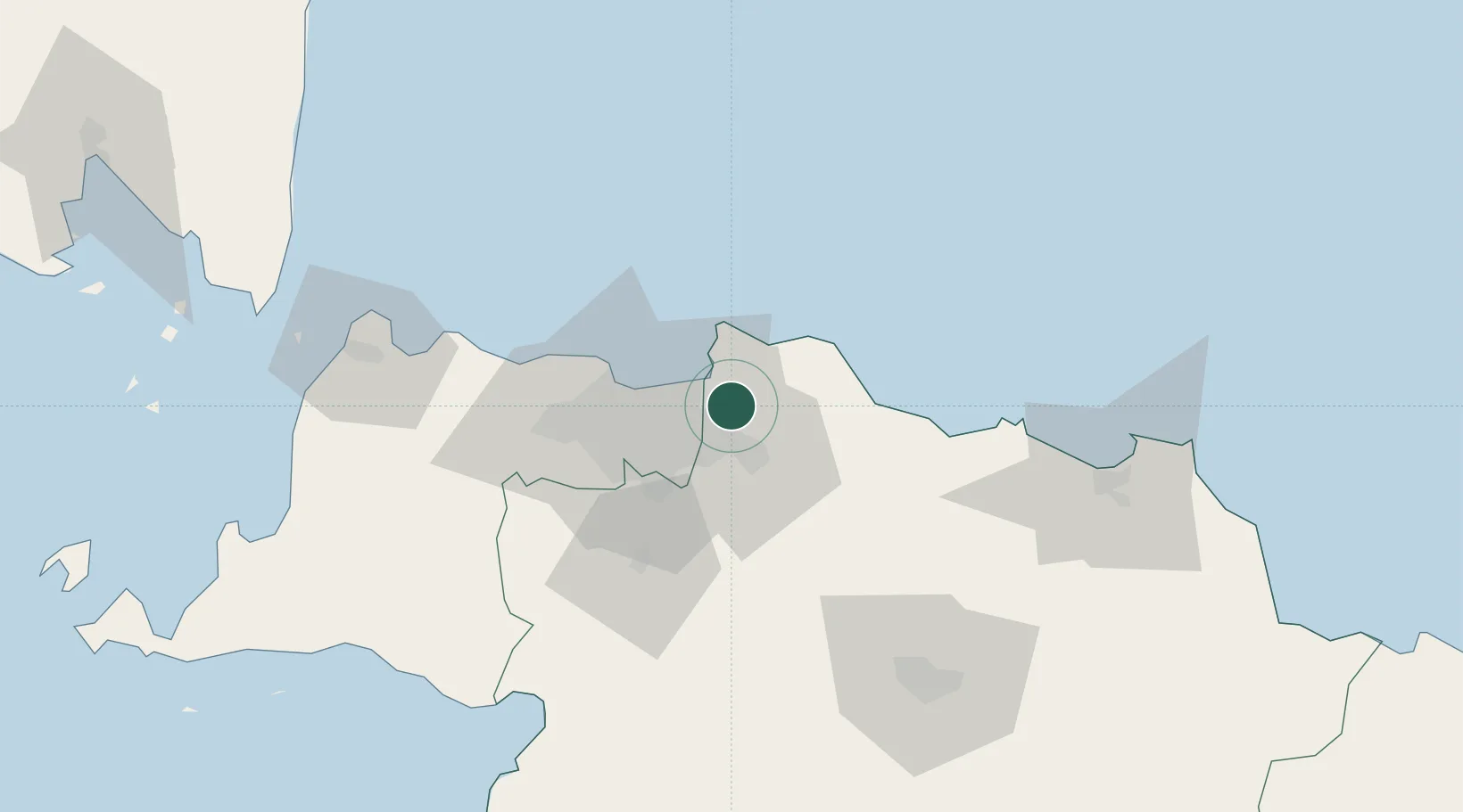
Jakarta, Java
-6.1515°, 107.0653°
5
Transport functions
7
Container terminals
Transport Functions
Port
Rail
Road
Airport
Postal
Hub Profile
Region
JK
Logistics facilities
96
Container terminals
7
Location
Nearby Logistics Neighbours
Cities
- 1Jakarta Utara14 km
- 2Jababeka17 km
- 3New Priok Port18 km
- 4Jakarta Pusat26 km
- 5Menteng26 km
Ports
- 1Ardjuna Oil Field78 km
- 2Tanjung Sekong121 km
- 3Merak Mas Terminal121 km
- 4Banten122 km
- 5Anyer Lor128 km
Airports
DatabookThe Record of Consolidated Knowledge
Indonesia beyond logistics?