UN/LOCODE hub · China
CNSHP

Qinhuangdao Pt

39.9382°, 119.6502°
1
Transport functions

Transport Functions

Port
Qinhuangdao Pt is also a profiled seaport →
UN/LOCODE

Hub Profile

Region
HE
GeoNames
Logistics facilities
4
UN/LOCODE

Location

Location of CNSHP
Natural Earth 10m (public domain) · HE · CNSHP · 39.94, 119.65GoogleOSMYandex

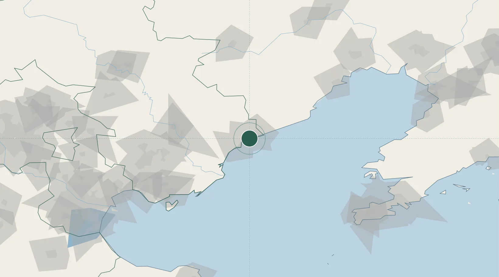
Nearby Logistics Neighbours

Cities
  1. 1Tangshan Pt130 km
  2. 2Jinxi135 km
  3. 3Caofeidian Pt146 km
  4. 4Jinzhou Pt157 km
  5. 5Chengde185 km
Nearest neighbours — logibook spatial index (haversine) over the source coordinates
Ports
  1. 1Tangshan (Jingtang)98 km
  2. 2Huludao Gang141 km
  3. 3Jinzhou Wan153 km
  4. 4Lushun188 km
  5. 5Tianjin Xin Gang190 km
Nearest neighbours — logibook spatial index (haversine) over the source coordinates
Airports
  1. 1Qinhuangdao Beidaihe Airport59 km
  2. 2Suizhong Air Base73 km
  3. 3Huangdicun Naval Air Base106 km
  4. 4Xingcheng Air Base114 km
  5. 5Pingquan Air Base135 km
Nearest neighbours — logibook spatial index (haversine) over the source coordinates
Trade Zones
  1. 1Changli Economic Development Zone50 km
  2. 2Qianan High-tech Industrial Development Zone77 km
  3. 3Luan County Economic Development Zone84 km
  4. 4Qianan Economic Development Zone90 km
  5. 5Tangshan Seaport Economic Development Zone95 km
Nearest neighbours — logibook spatial index (haversine) over the source coordinates
DatabookThe Record of Consolidated Knowledge
China beyond logistics?
Browse databook

All Sources

LocationsUN/LOCODE
UN/LOCODE — free
Portsthe NGA World Port Index
Public domain (US gov)
AirportsOurAirports
Public domain
Trade Zonesthe World Bank SEZ database
CC BY 4.0
Trade ZonesOpen Zone Map
CC BY
← China locations