Runway & Layout

Airport Specifications
Airport class
Medium airport
Scheduled service
No
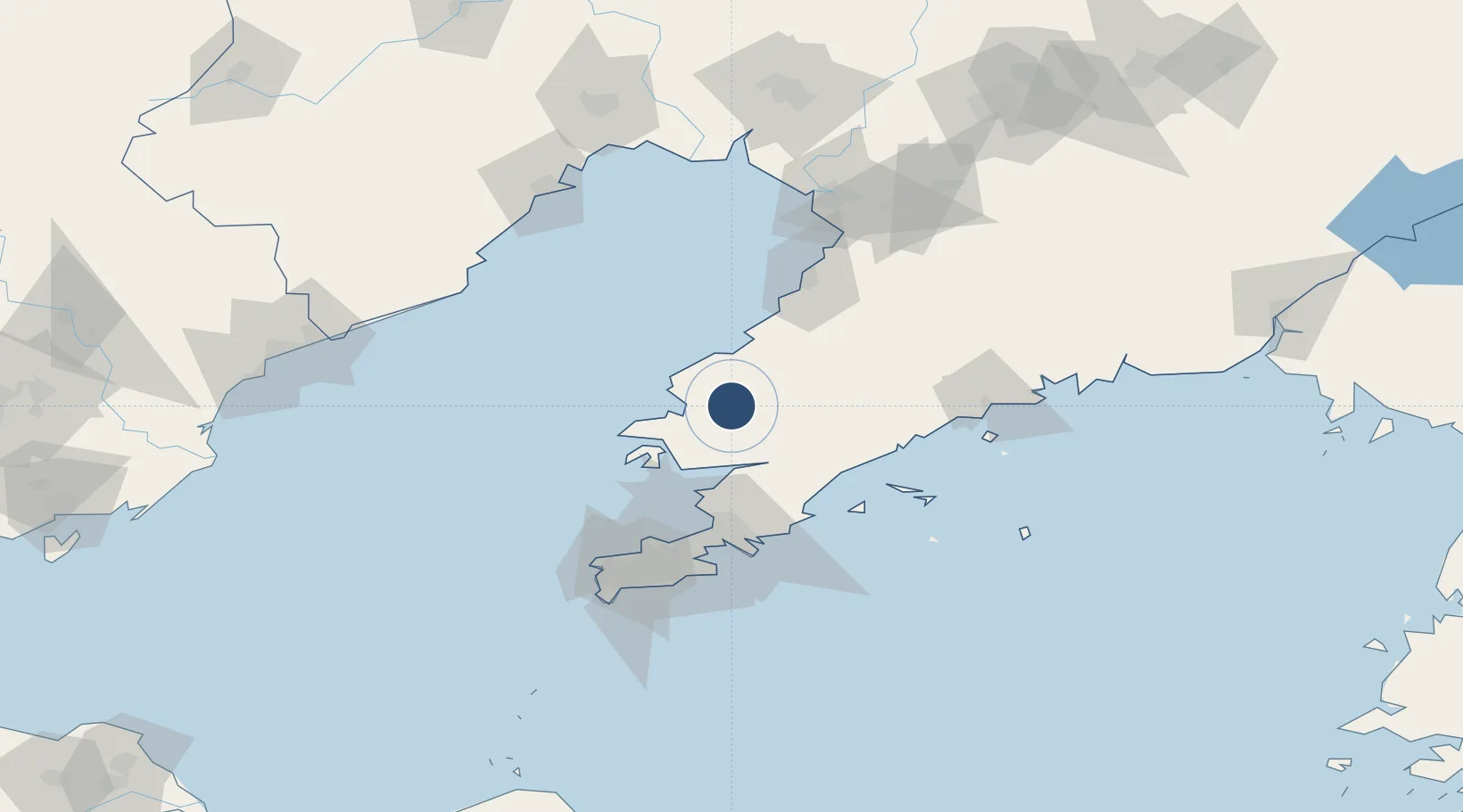
Served city
Dalian (Wafangdian)
Location
Nearby Logistics Neighbours
Airports
Cities
- 1Songshu32 km
- 2Yinkou74 km
- 3Dalian74 km
- 4Sikuaishi81 km
- 5Yangshufang85 km
Ports
- 1Bayuquan75 km
- 2Dalian84 km
- 3Lushun108 km
- 4Yingkou120 km
- 5Huludao Gang132 km
Trade Zones
DatabookThe Record of Consolidated Knowledge
China beyond logistics?