Runway & Layout

Airport Specifications
IATA code
LGZ
ICAO code
ZUSH
Airport class
Small airport
Scheduled service
Yes
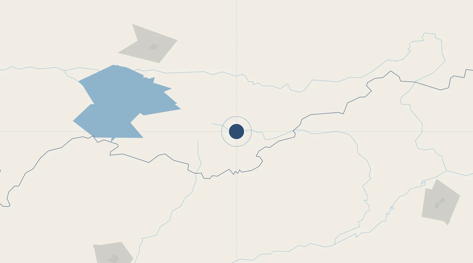
Served city
Shannan
Location
Nearby Logistics Neighbours
Airports
- 1Yongphulla Airport153 km
- 2Lhasa Gonggar International Airport170 km
- 3Ziro Airport172 km
- 4Bathpalathang Airport184 km
- 5Tezpur Airport195 km
Cities
- 1Jomotshangkha187 km
- 2Phuntsho Raptenling199 km
- 3Samdrup Jongkhar201 km
- 4Pelzomthang (Nganglam)210 km
- 5Gelephu254 km
Ports
- 1Chittagong681 km
- 2Mongla717 km
- 3Calcutta767 km
- 4Haldia Port831 km
- 5Sittwe923 km
Trade Zones
- 1Bondeyma Industrial Park168 km
- 2Motanga Industrial Park199 km
- 3Jigmeling Industrial Park268 km
- 4Dhamdum Industrial Park363 km
- 5Kurigram Economic Zone - 1395 km
DatabookThe Record of Consolidated Knowledge
China beyond logistics?