Medium airport · India
Ziro AirportVEZO
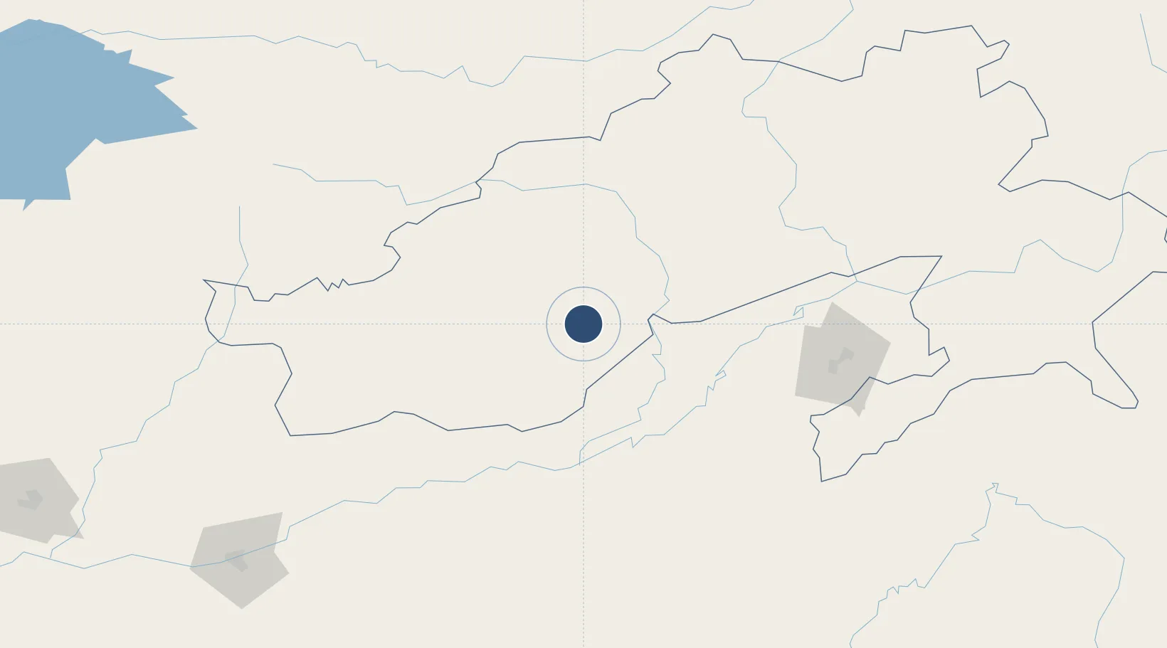
27.5883°, 93.8281°
4,010 ft
Longest runway
1
Runways
5,403 ft
Elevation
Runway & Layout

Radio Frequencies
TWR
122.7 MHz
Runways · 1
| Runway | Dimensions | Surface | True heading | Lit |
|---|---|---|---|---|
| 18/36 | 4,010 × 100ft | Asphalt | 183° | — |
Airport Specifications
IATA code
ZER
ICAO code
VEZO
Airport class
Medium airport
Scheduled service
No
Runway surface
Asphalt
Served city
Ziro
Location
Nearby Logistics Neighbours
Airports
- 1Lilabari North Lakhimpur Airport42 km
- 2Itanagar Donyi Polo Hollongi Airport72 km
- 3Jorhat Airport101 km
- 4Along Airport116 km
- 5Dibrugarh Airport118 km
Cities
- 1Jomotshangkha106 km
- 2Phuntsho Raptenling244 km
- 3Samdrup Jongkhar247 km
- 4Amingaon (Gauhati)264 km
- 5Pelzomthang (Nganglam)270 km
Ports
- 1Chittagong620 km
- 2Mongla711 km
- 3Calcutta787 km
- 4Sittwe834 km
- 5Haldia Port848 km
Trade Zones
- 1Motanga Industrial Park247 km
- 2Bondeyma Industrial Park258 km
- 3Sylhet Special Economic Zone358 km
- 4Jigmeling Industrial Park361 km
- 5Shreehatta Srihatta Economic Zone394 km
DatabookThe Record of Consolidated Knowledge
India beyond logistics?