Transport Functions
Rail
Road
Hub Profile
Place type
Populated place
Region
New South Wales
Population
1,715
Time zone
Australia/Sydney
Elevation
226 m
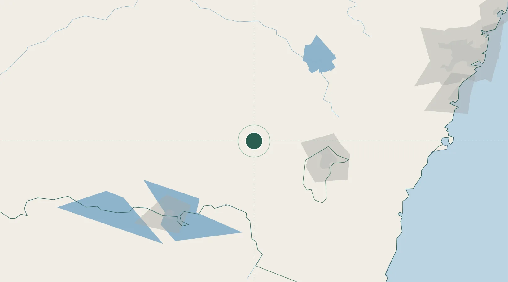
Location
Nearby Logistics Neighbours
Cities
- 1Muttama30 km
- 2Junee52 km
- 3Wallendbeen60 km
- 4Harden63 km
- 5Binalong66 km
Ports
- 1Batemans Bay200 km
- 2Jervis Bay246 km
- 3Port Kembla265 km
- 4Eden276 km
- 5Botany Bay311 km
Airports
- 1Tumut Aerodrome26 km
- 2Cootamundra Airport50 km
- 3Wagga Wagga Airport59 km
- 4Temora Airport90 km
- 5Young Airport91 km
Trade Zones
DatabookThe Record of Consolidated Knowledge
Australia beyond logistics?