Transport Functions
Rail
Road
Hub Profile
Place type
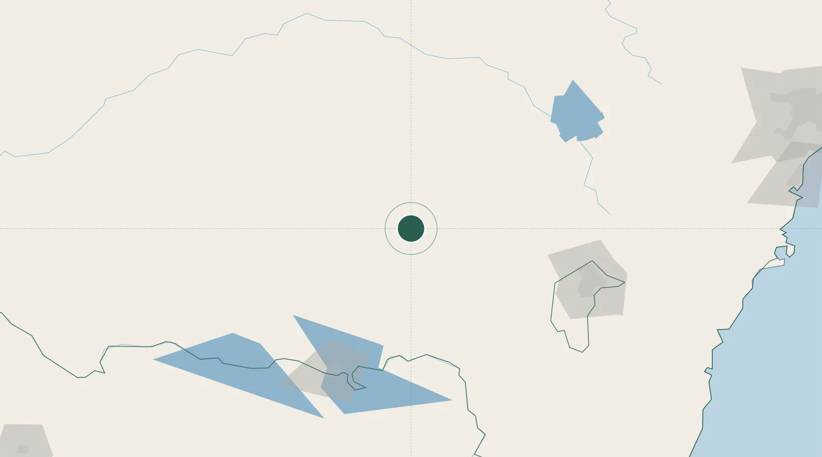
Populated place
Region
New South Wales
Population
4,833
Time zone
Australia/Sydney
Elevation
301 m
Location
Nearby Logistics Neighbours
Cities
- 1Coolamon35 km
- 2Stockinbingal49 km
- 3Muttama49 km
- 4Ganmain51 km
- 5Gundagai52 km
Ports
- 1Batemans Bay252 km
- 2Jervis Bay294 km
- 3Port Kembla308 km
- 4Eden322 km
- 5Botany Bay348 km
Airports
- 1Wagga Wagga Airport35 km
- 2Cootamundra Airport49 km
- 3Temora Airport50 km
- 4Tumut Aerodrome75 km
- 5Young Airport91 km
Trade Zones
DatabookThe Record of Consolidated Knowledge
Australia beyond logistics?