UN/LOCODE hub · Australia
AUWPA
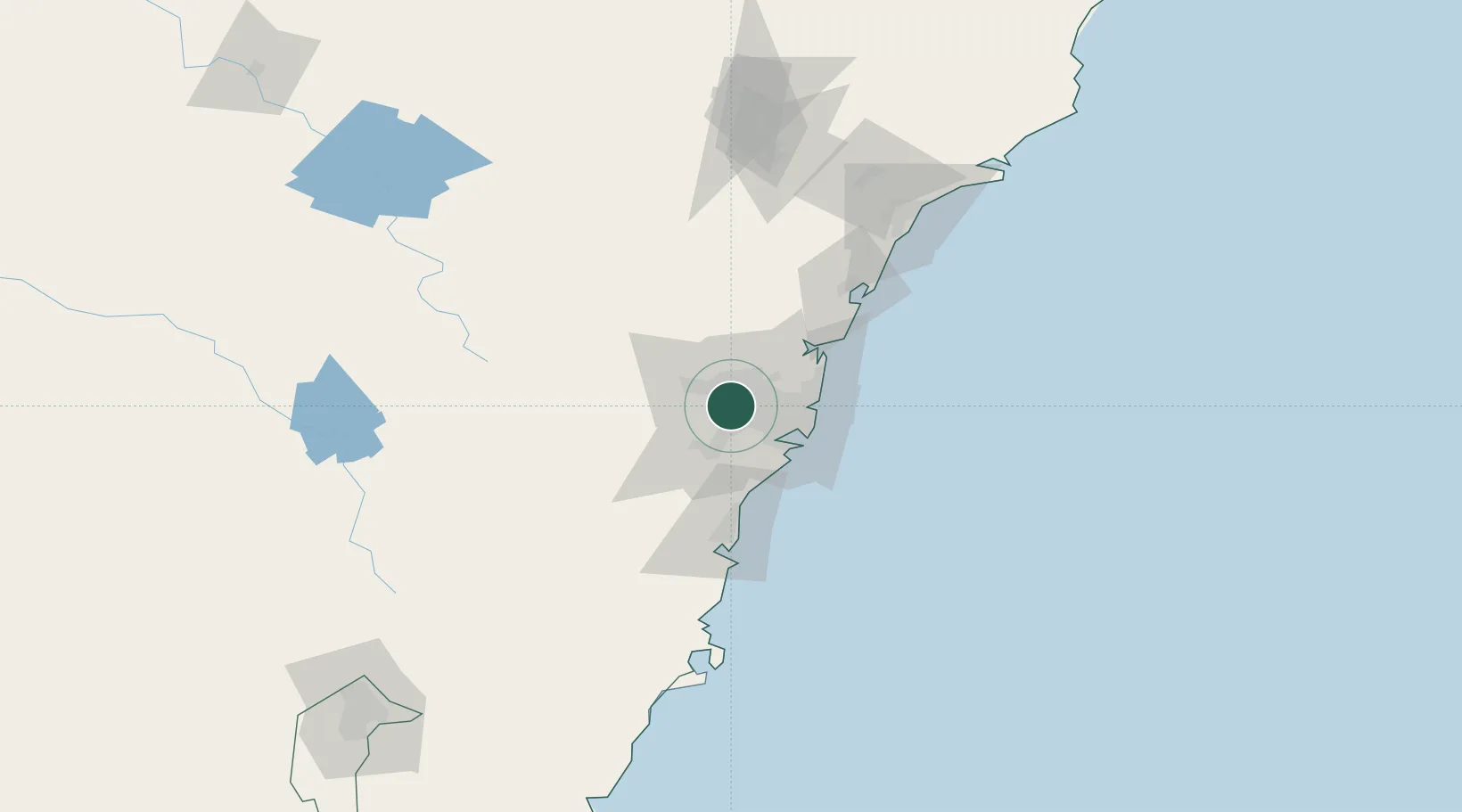
Wetherill Park
-33.8500°, 150.8833°
6,104
Population
2
Transport functions
Transport Functions
Rail
Multimodal
Hub Profile
Place type
Urban district
Region
New South Wales
Population
6,104
Time zone
Australia/Sydney
Elevation
46 m
Location
Nearby Logistics Neighbours
Cities
- 1Fairfield6 km
- 2Arndell Park8 km
- 3Yennora8 km
- 4Pendle Hills8 km
- 5Wentworthville9 km
Ports
- 1Sydney29 km
- 2Botany Bay36 km
- 3Port Kembla71 km
- 4Newcastle133 km
- 5Jervis Bay141 km
Airports
Trade Zones
DatabookThe Record of Consolidated Knowledge
Australia beyond logistics?